May 25th
Start&Finish: Moroyama station to Higashi Moroyama
The weather: High 23 Low 14
Outfit/Equipment: Jeans, tshirt, light zippy, light trainers
Map: My main goal was the rose garden, then I just followed the signs.
Crowds: Plenty of people at the rose garden but other than that, hardly a soul
Time: 11:30 to 3:30
Difficulty: 19,000 steps, 50 flights climbed.
I first went to Takinoiri Rose Garden years ago and liked it. It was kind of run down at the time and I think it was either a bit too early or a bit too late in the season with not much flowering so I was keen to see the garden in full bloom. The day was overcast and it had rained heavily overnight, so rather than go hiking I decided to go see the rose garden again. I’m glad I did! It’s only open for a couple of weeks in May, then again for a couple of weeks in October so you need to grab any opportunity. I took the train to Moro station but it’s a bit of a pain to get to and realised it’s only a bit further to walk from Higashi Moro which is on a different line; something to remember for next time. From Moro station it was about half an hours walk to the garden along quiet roads.
The garden was much better tended than the last time I had visited and I have a feeling it had also been extended. There were of course hundreds of gorgeous roses but also foxgloves, orlaya, cornflowers and delphiniums scattered among them, which I loved. The smell was heavenly, and the surroundings lovely too. I found a bench and sat, breathing in the heady purfume and listening to the river that was rushing alongside the garden.
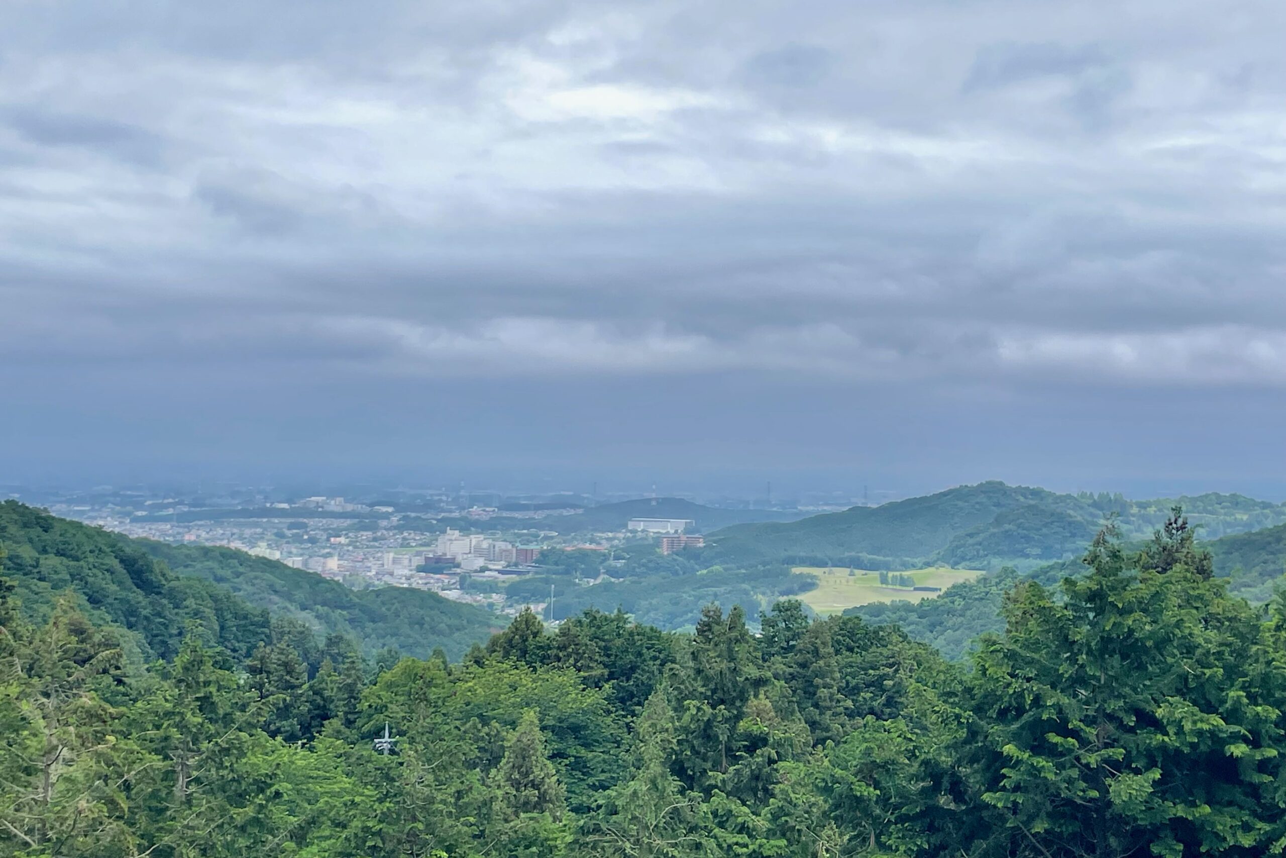
Once I had soaked up as much loveliness as I could I decided to walk around the foothills to a different station. The weather was overcast, but not threatening; pre-rainy season weather.
I headed back down about 1km to the cross roads, then followed the signs up to Katsuragi Kannon (桂木観音). I think I could actually have cut across from the free carpark furthest from the rose garden, so keep your eyes peeled. Either way there are plenty of signs and they point the way along a very pleasant path, alongside a river on one side with the occasional little waterfall, and what I assume were yuzu trees on the other. There are signs along the way, so it isn’t difficult to find your way as long as you keep an eye out for them. The going was easy, if a bit muddy in places, but I was fine in regular trainers. You eventually pop out at a shrine with a lovely view of the surrounding area. There’s also a toilet and a vending machine if you find yourself in need of a pit stop.
From here I followed the signs for O-Park (formally known as Yu-Park) which also happened to be the walking course for May, which meant there were plenty of noticeable red signs with a big 5 written on them, plastered around too. It was a little less trainer friendly from here, a bit muddier and a bit more slippery but I was still absolutely fine; it wasn’t steep. It’s maybe a couple of kilometers through the trees to O-Park, then I used google maps to find the way to the station from there. It’s an easy walk on quiet roads for about 25 minutes. All in all a very pleasant Sunday walk.


Discover more from Nature Escapes
Subscribe to get the latest posts sent to your email.