June 7th
Start&Finish: Ranzan Keikoku Kanko Carpark 嵐山渓谷観光駐車場
The weather: High 31 Low 15
Outfit/Equipment: light hiking trousers, light tshirt, hiking shoes, hat, 1L water.
Map: There are lots of routes up and round the mountain and you can easily walk from Musashi Ranzan station. I highly recommend an app like Yamap as it’s easy to get confused.
Crowds: The car park was nearly full but there was almost no one hiking.
Time: 9am – 2:30pm
Difficulty: 28,500 steps, 116 flights climbed, 18km.
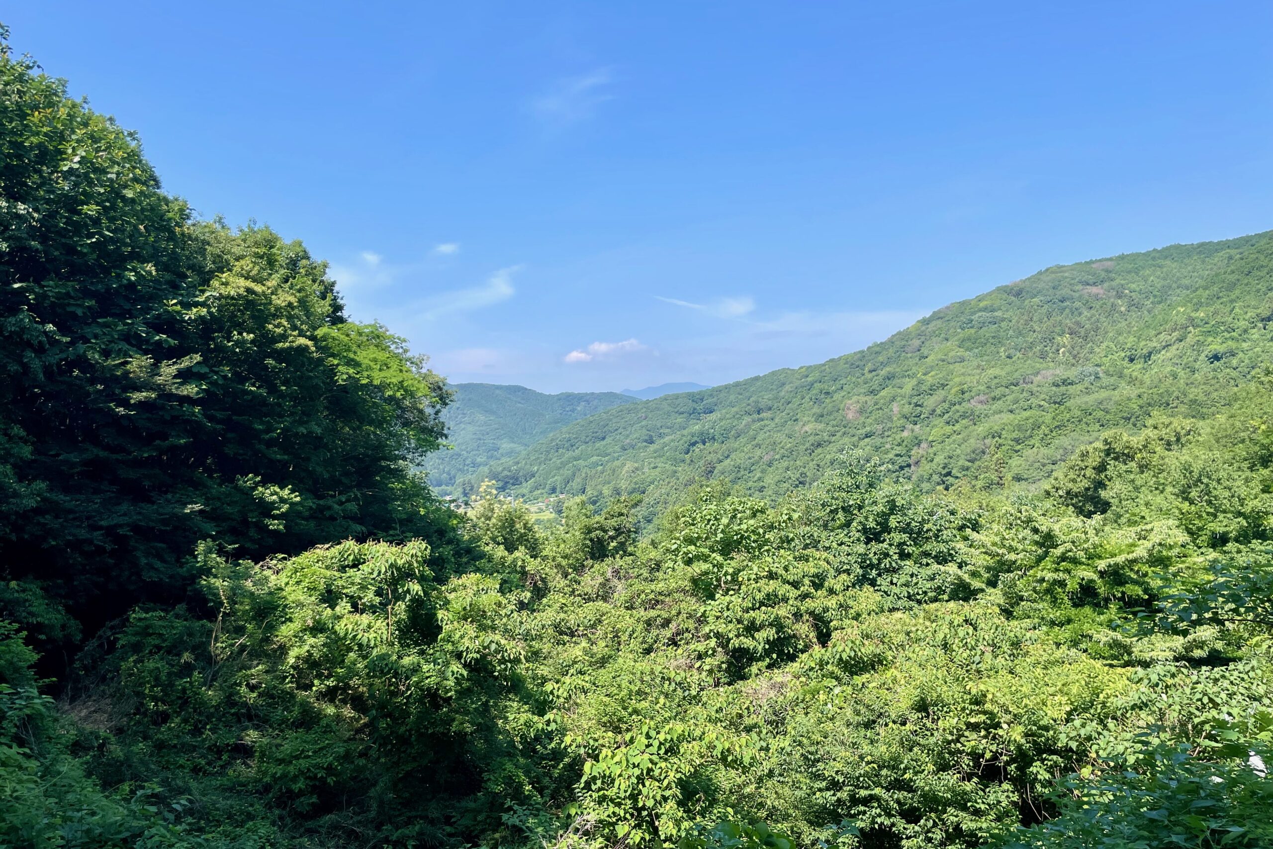
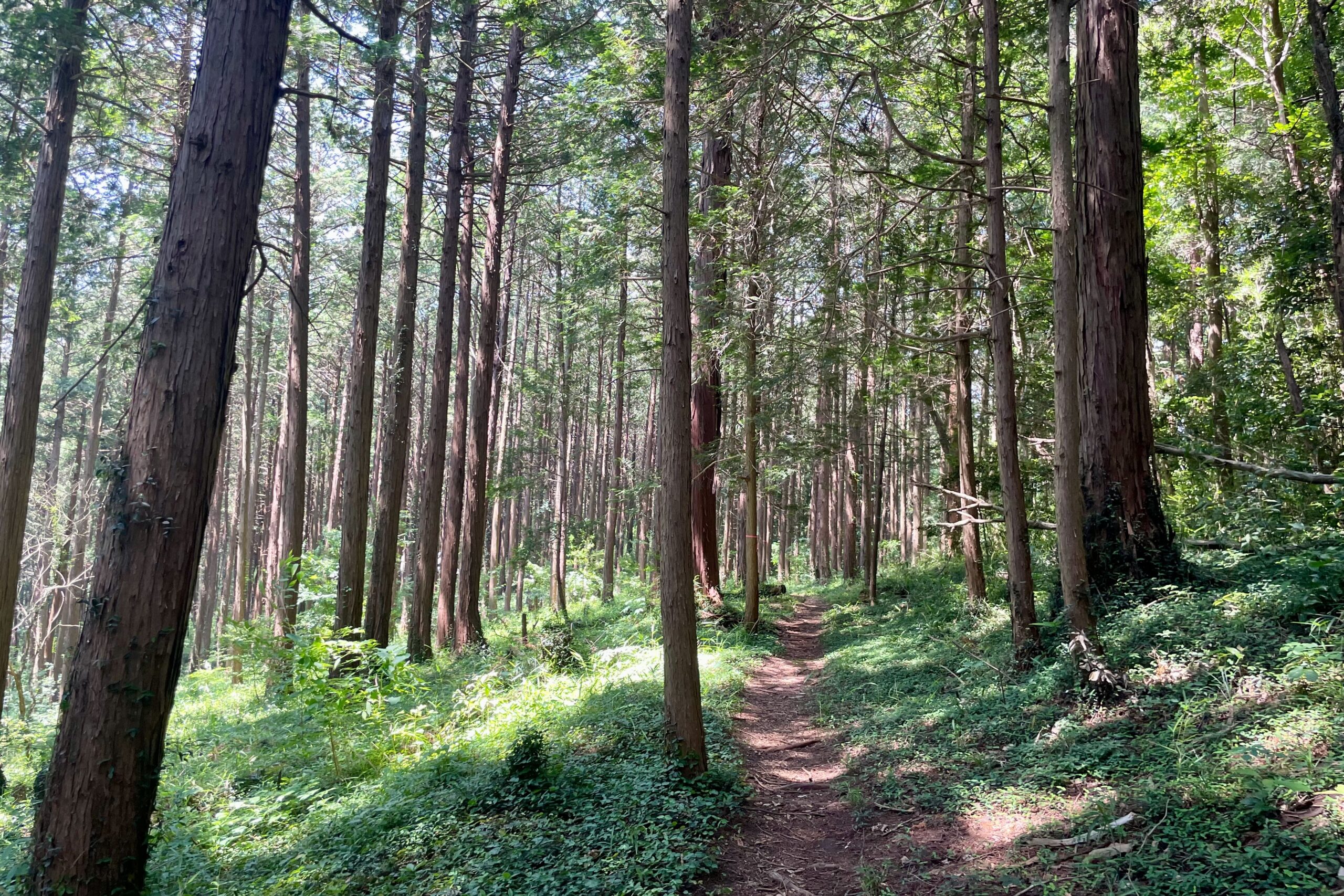
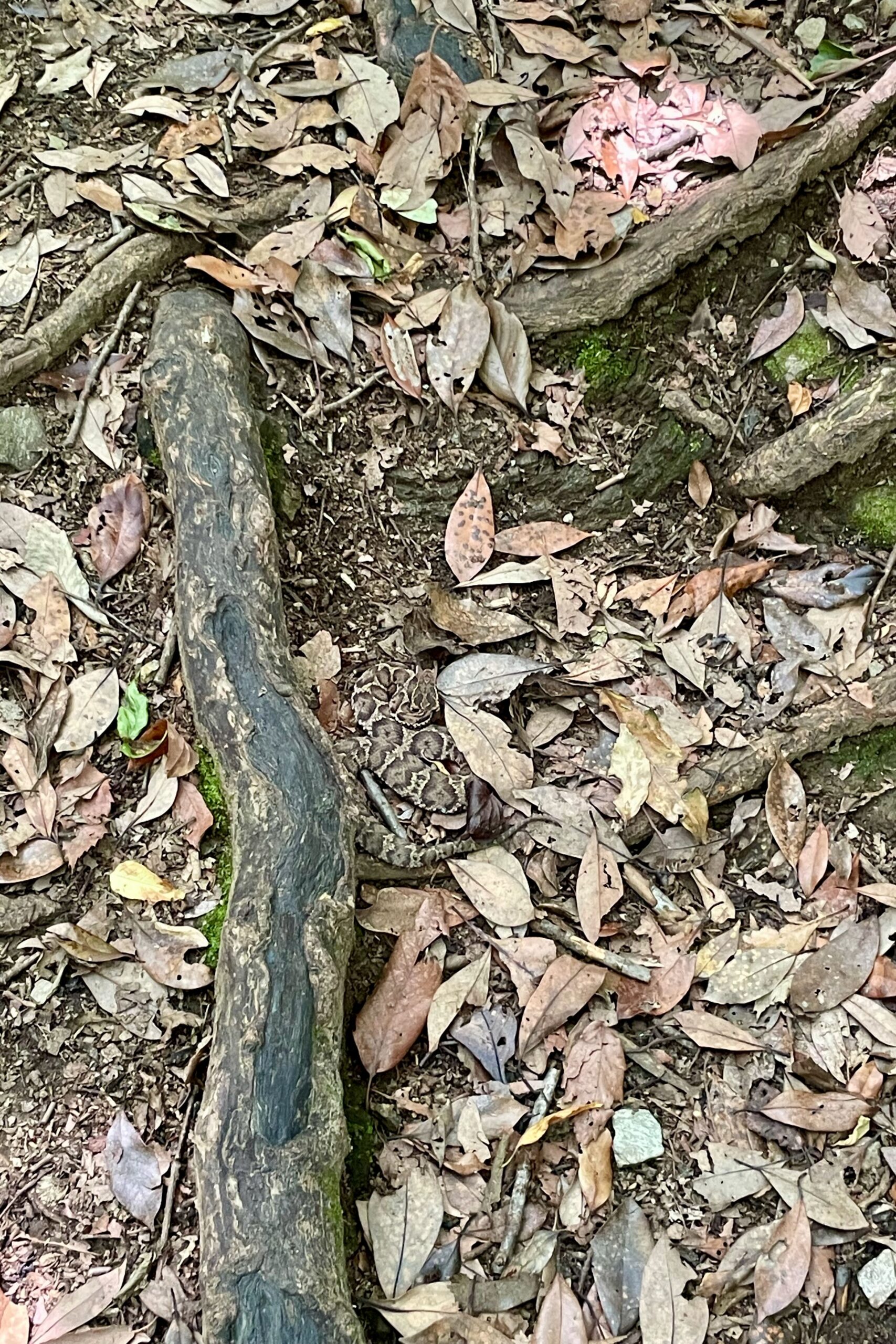
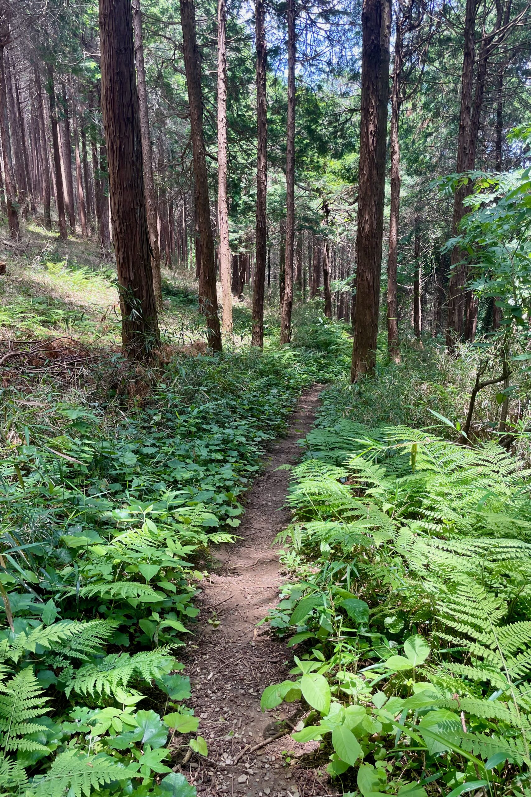
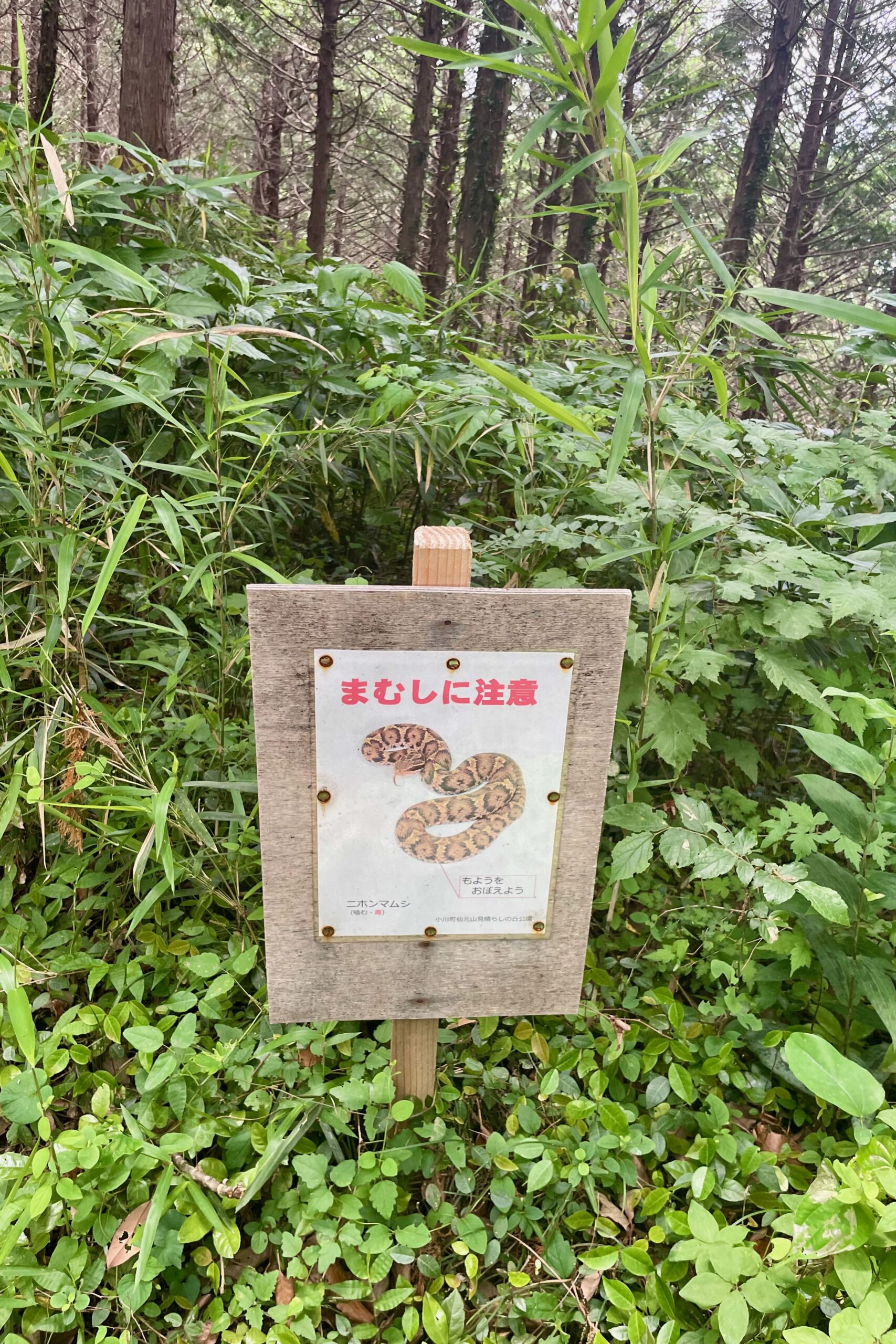
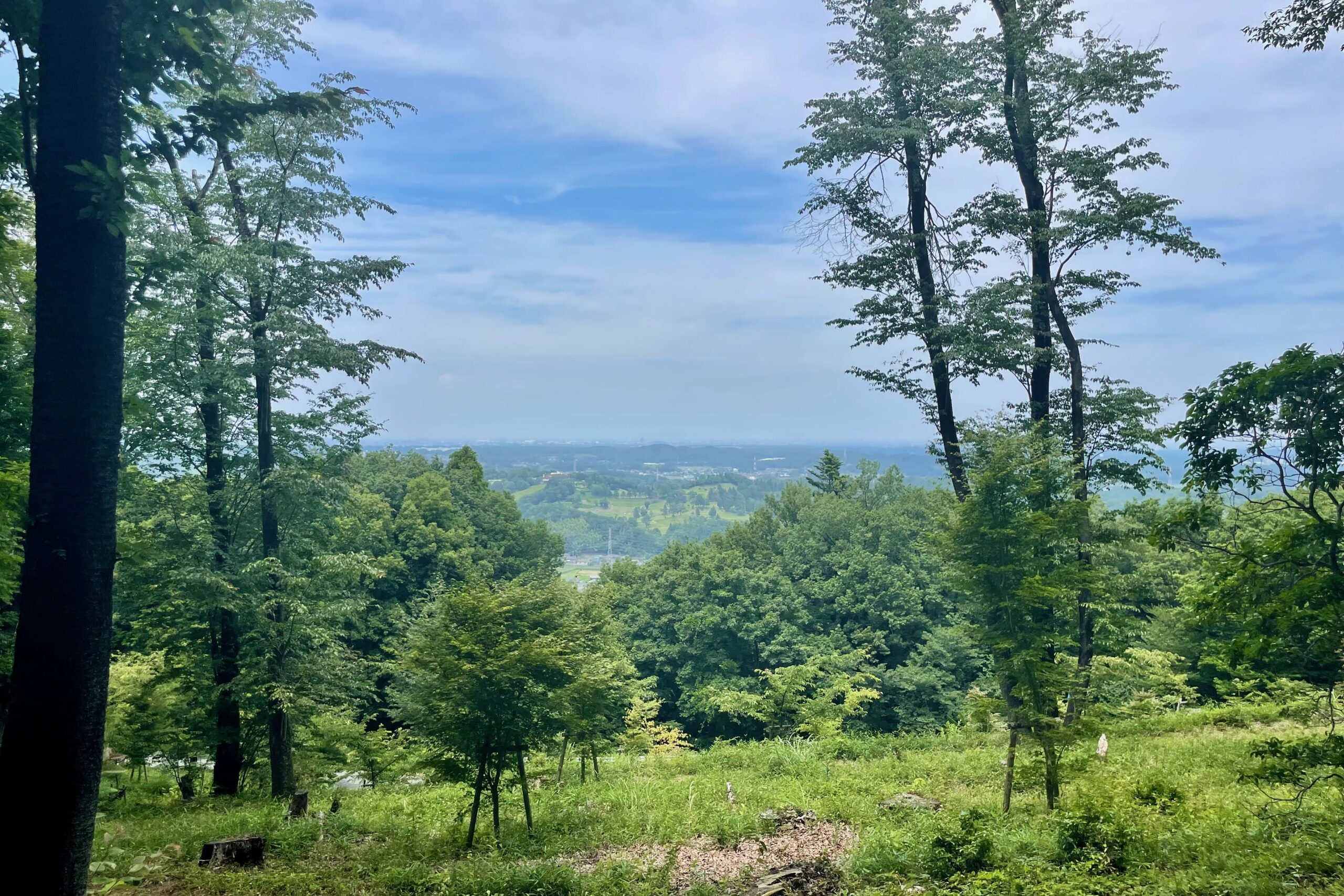
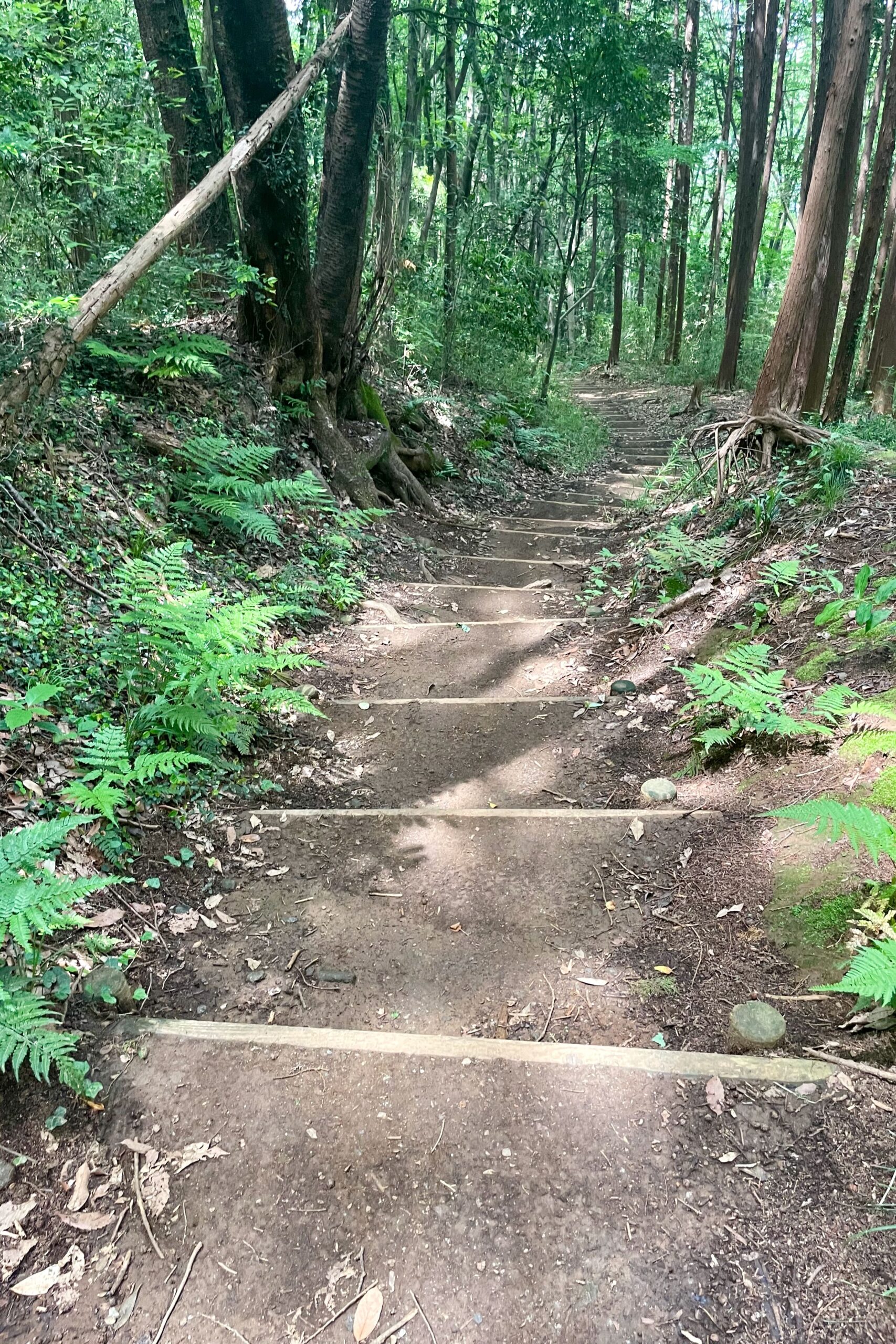
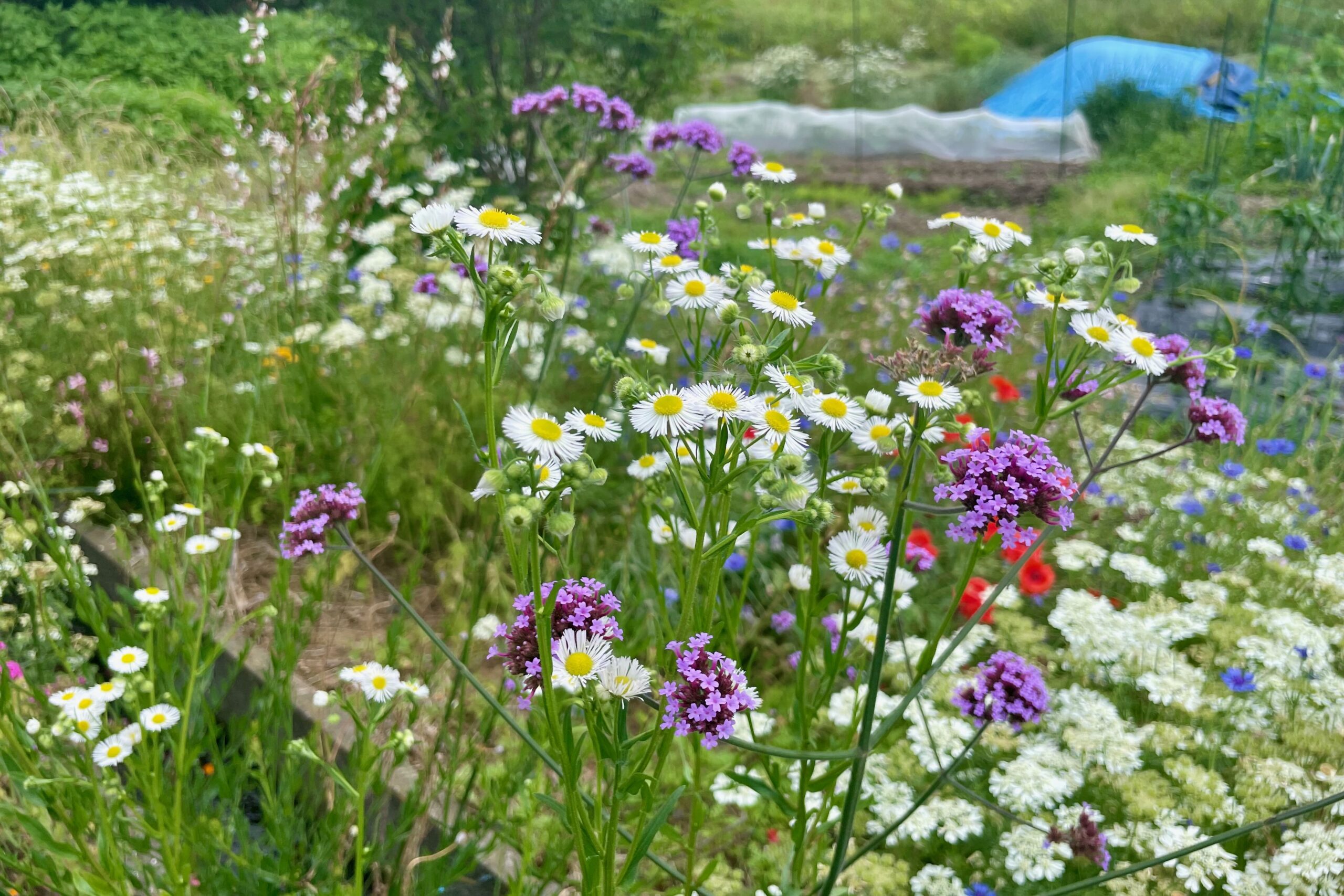
I’ve hiked round Ranzan a few times now. See this post and this one and really liked the area. I now realise that there is a big difference between summer and winter hiking and I far prefer the latter. It was hot and humid, there were bugs and snakes and no other people, the trees blocked any views so it turned into a sweaty slog through endless trees, whilst terrified of stepping on a snake (I very nearly did!).
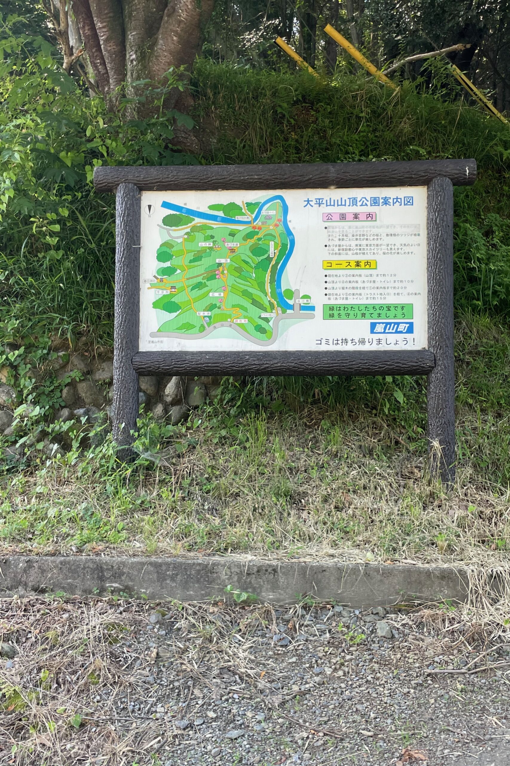
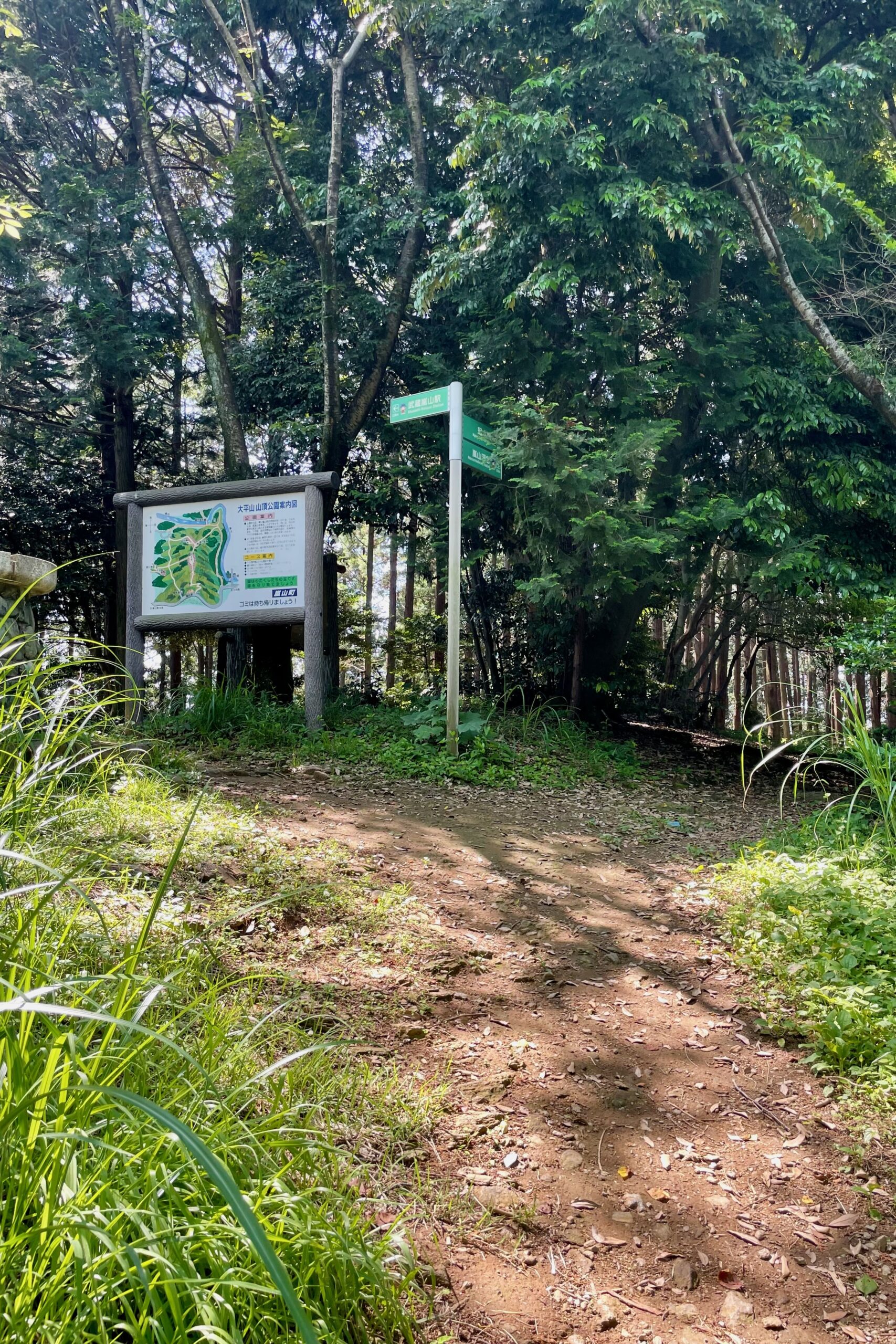
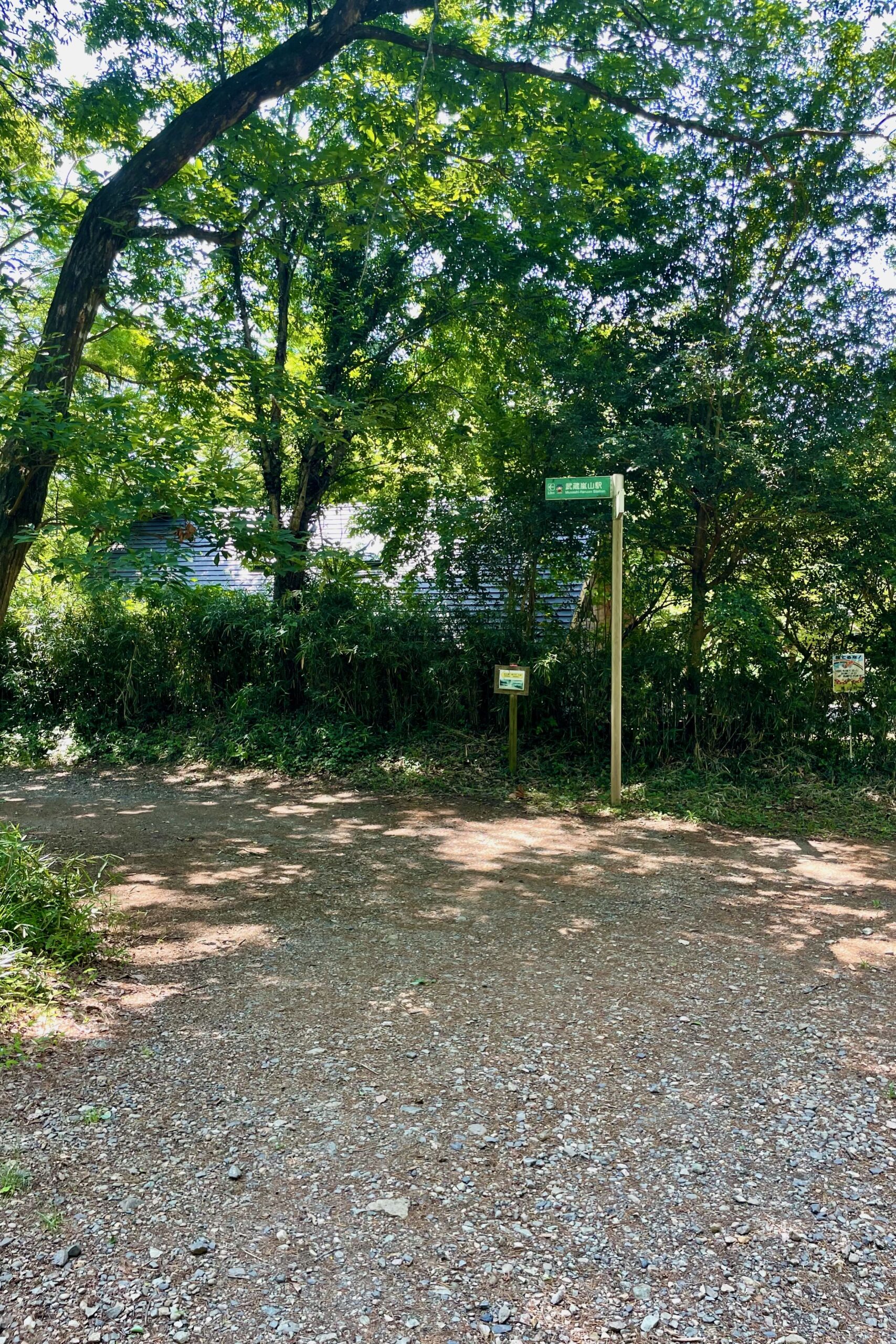
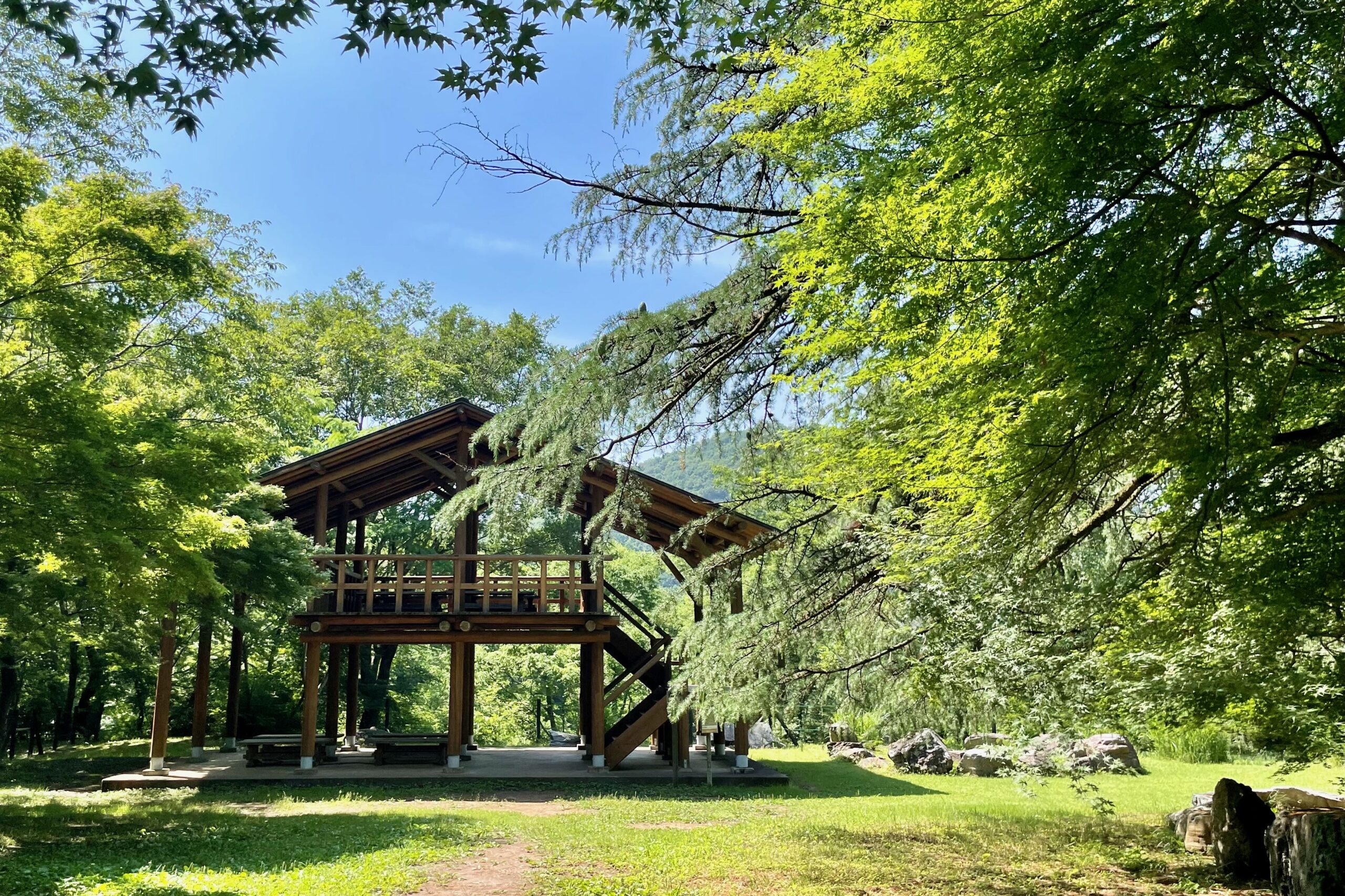
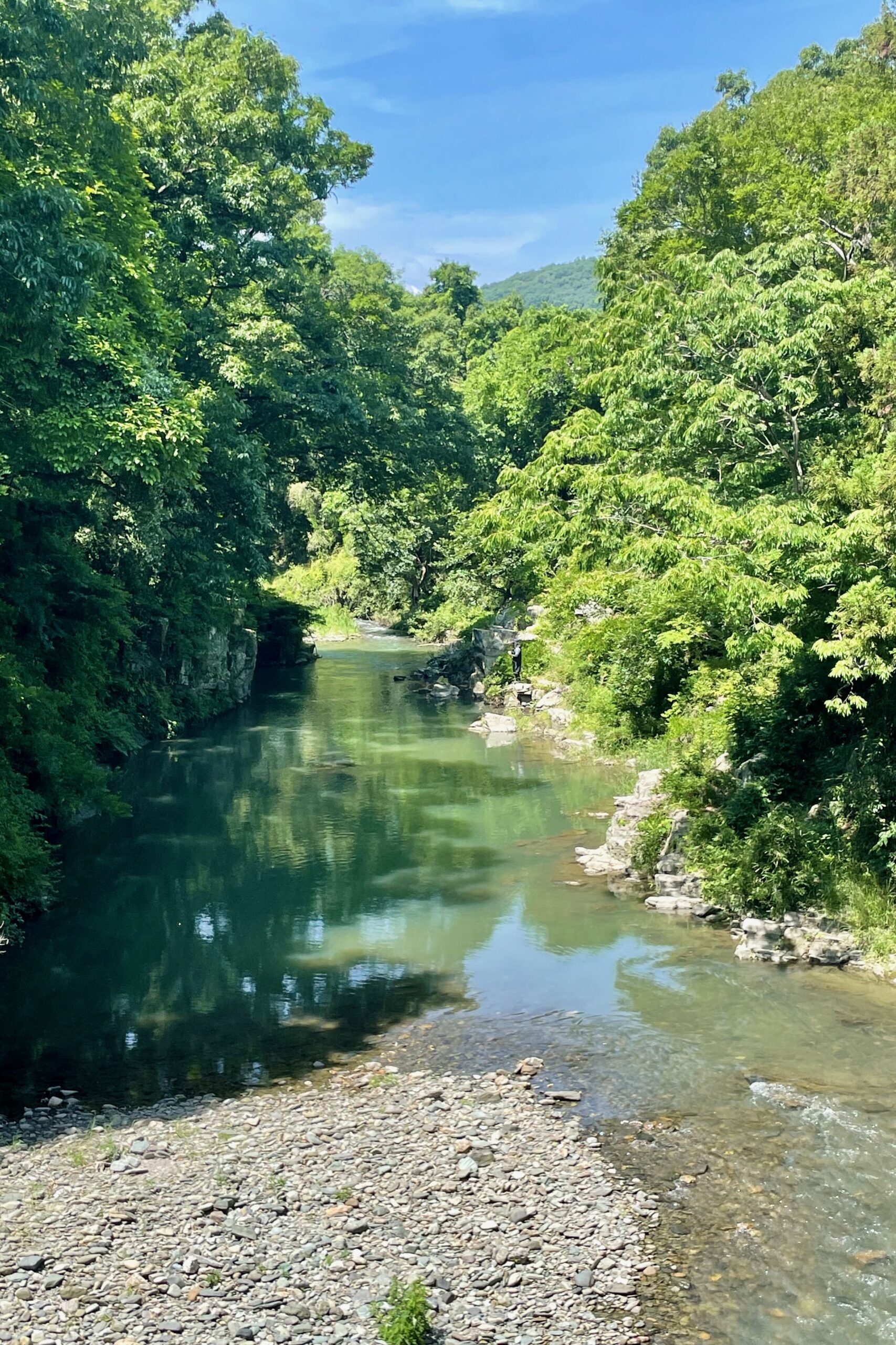
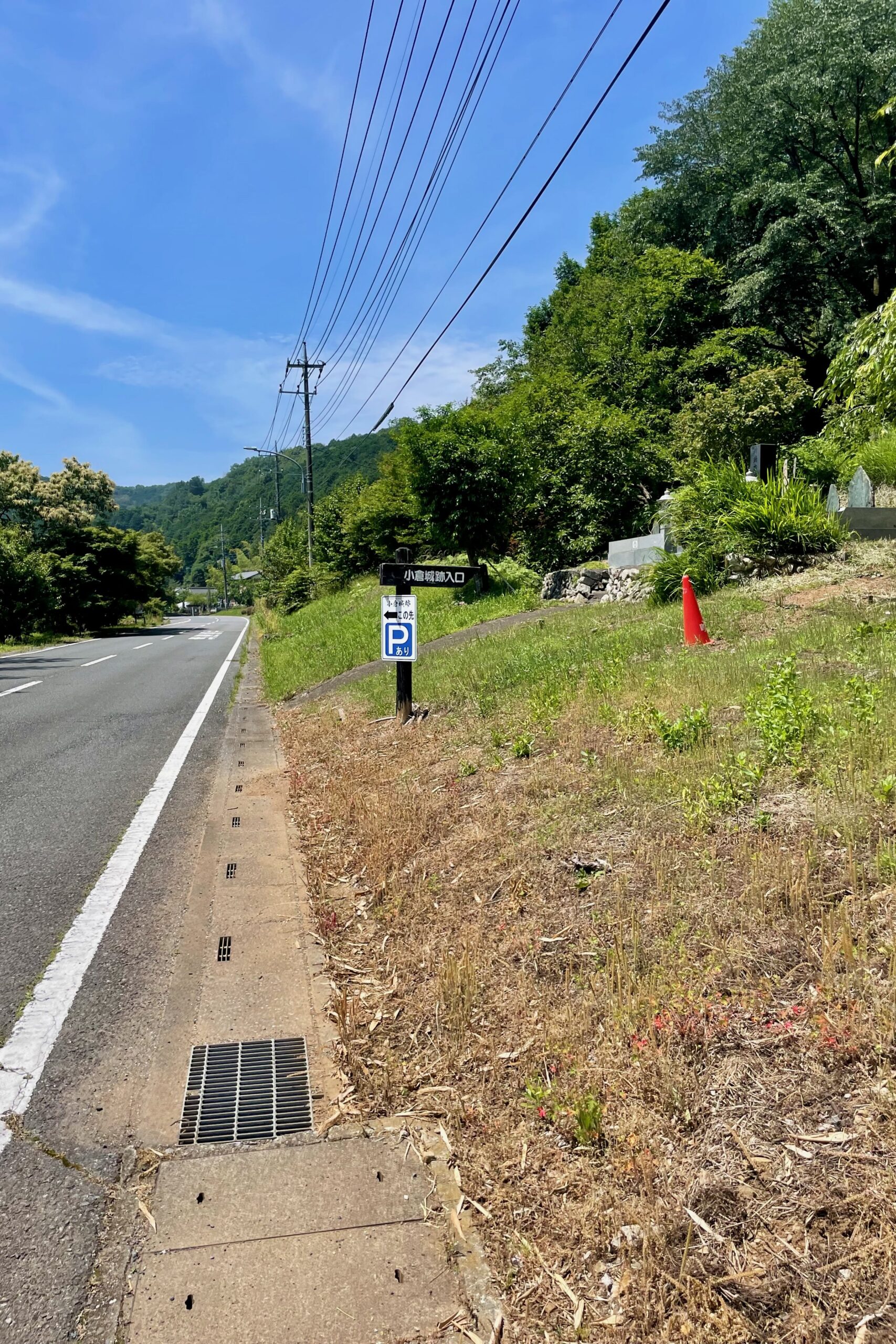
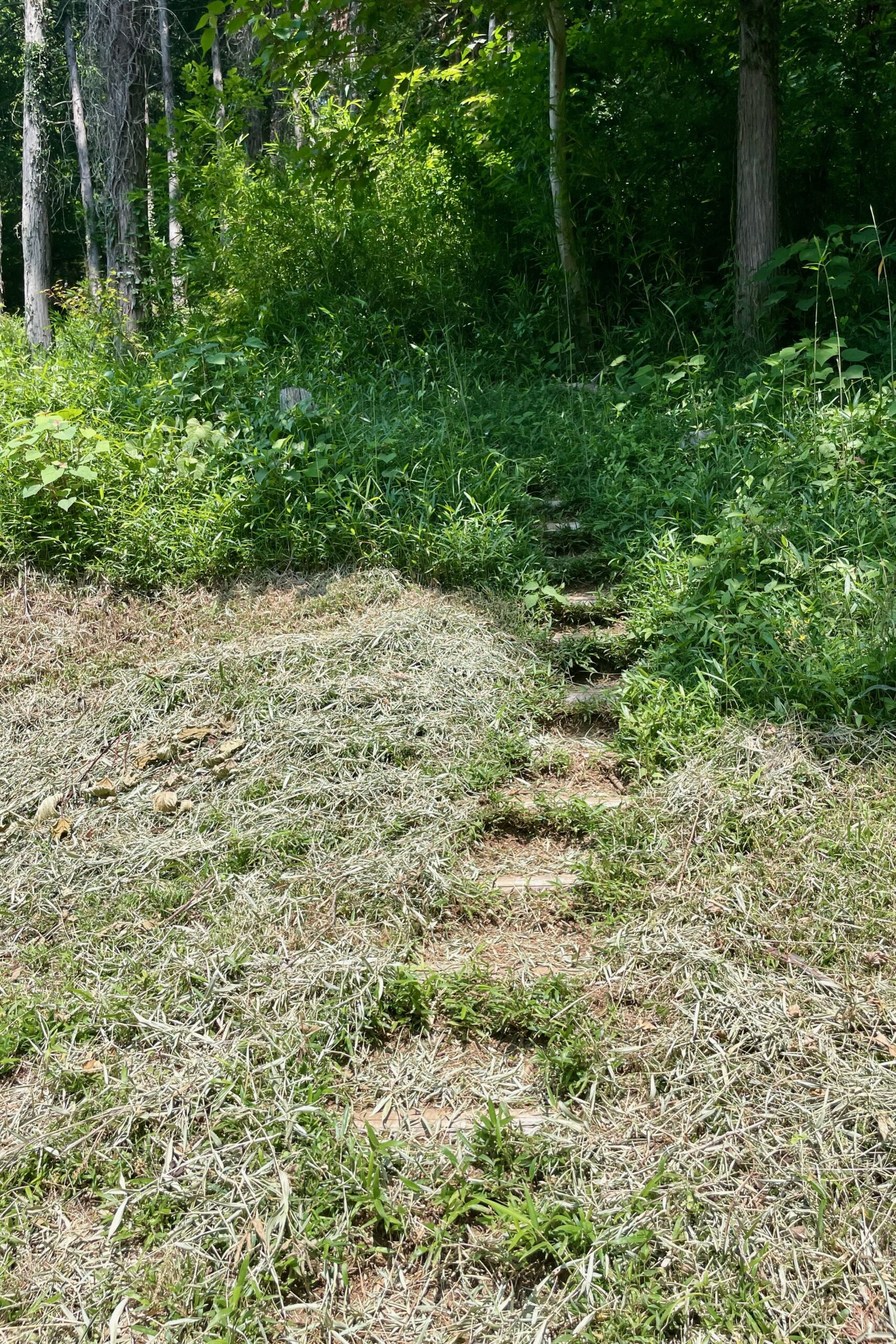
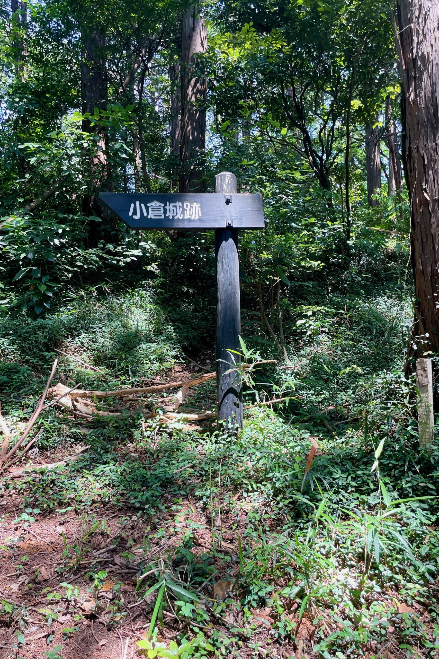
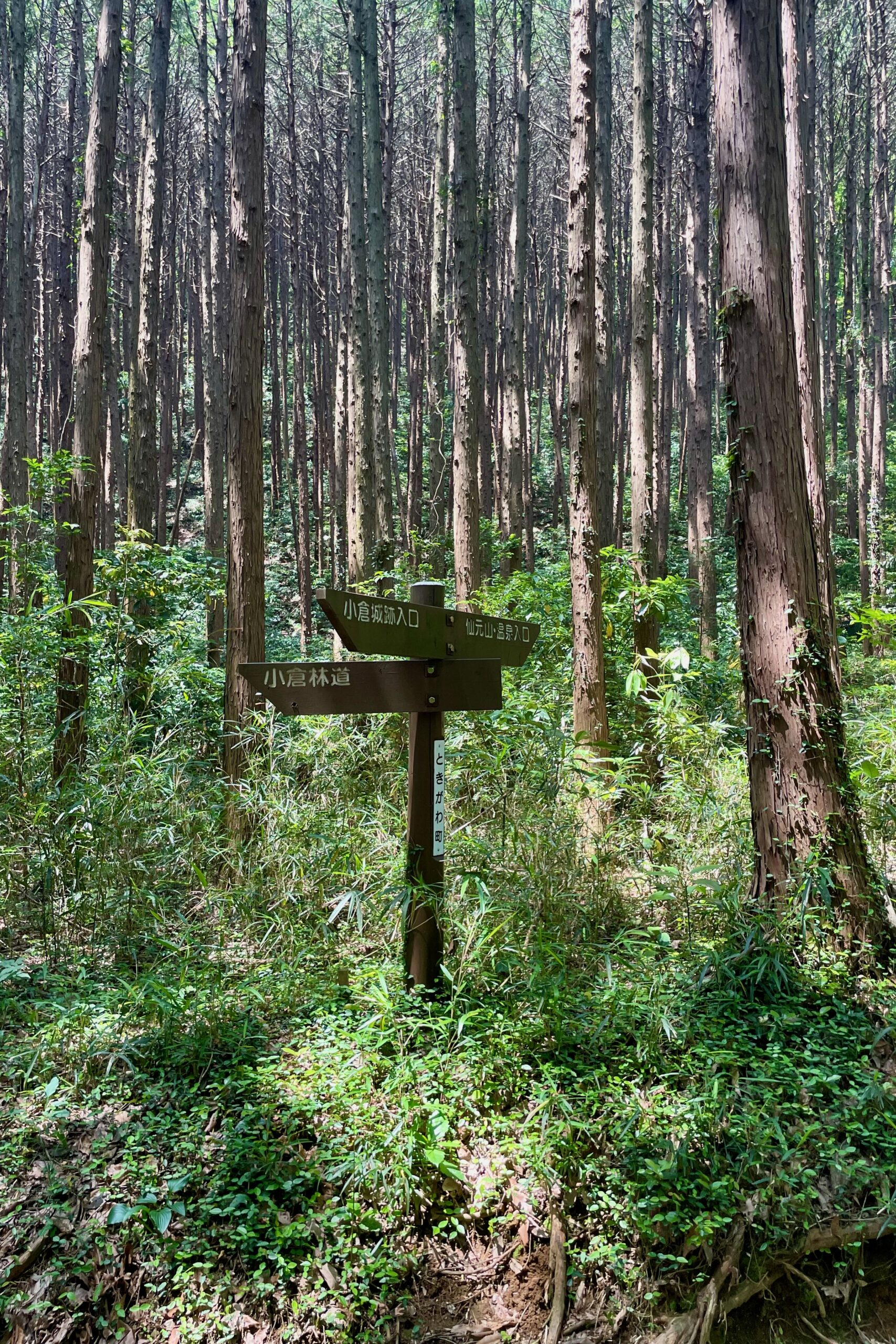
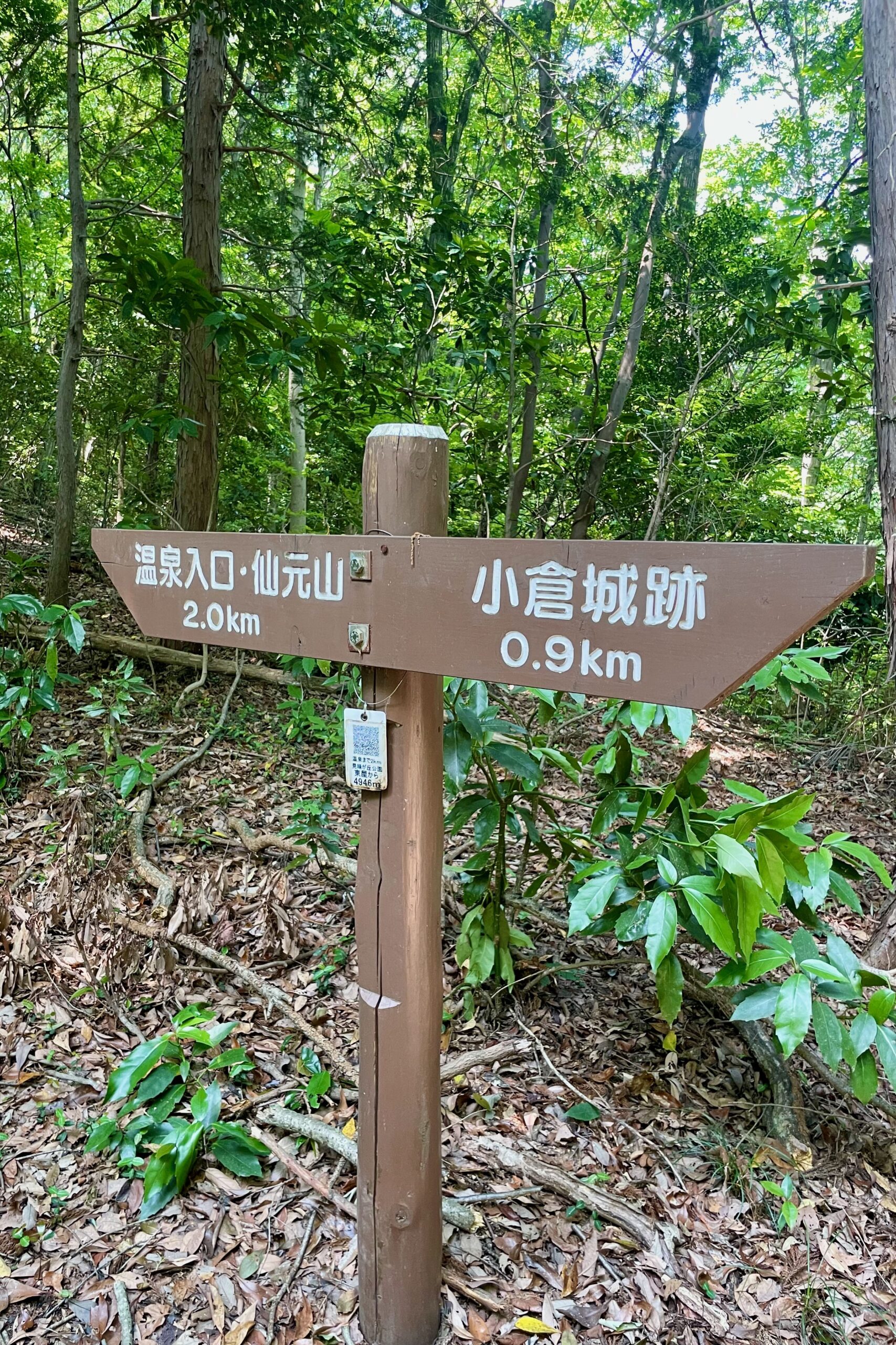
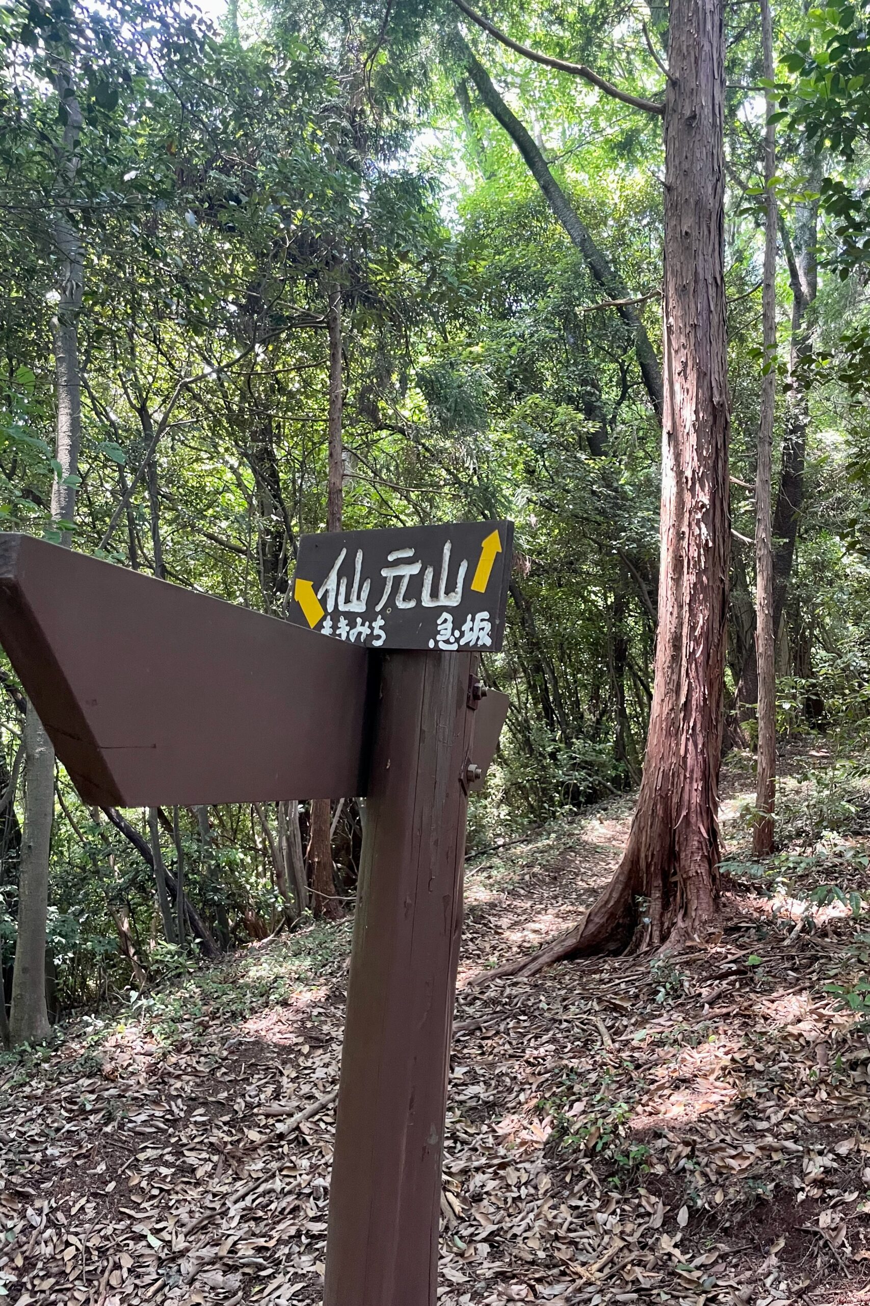
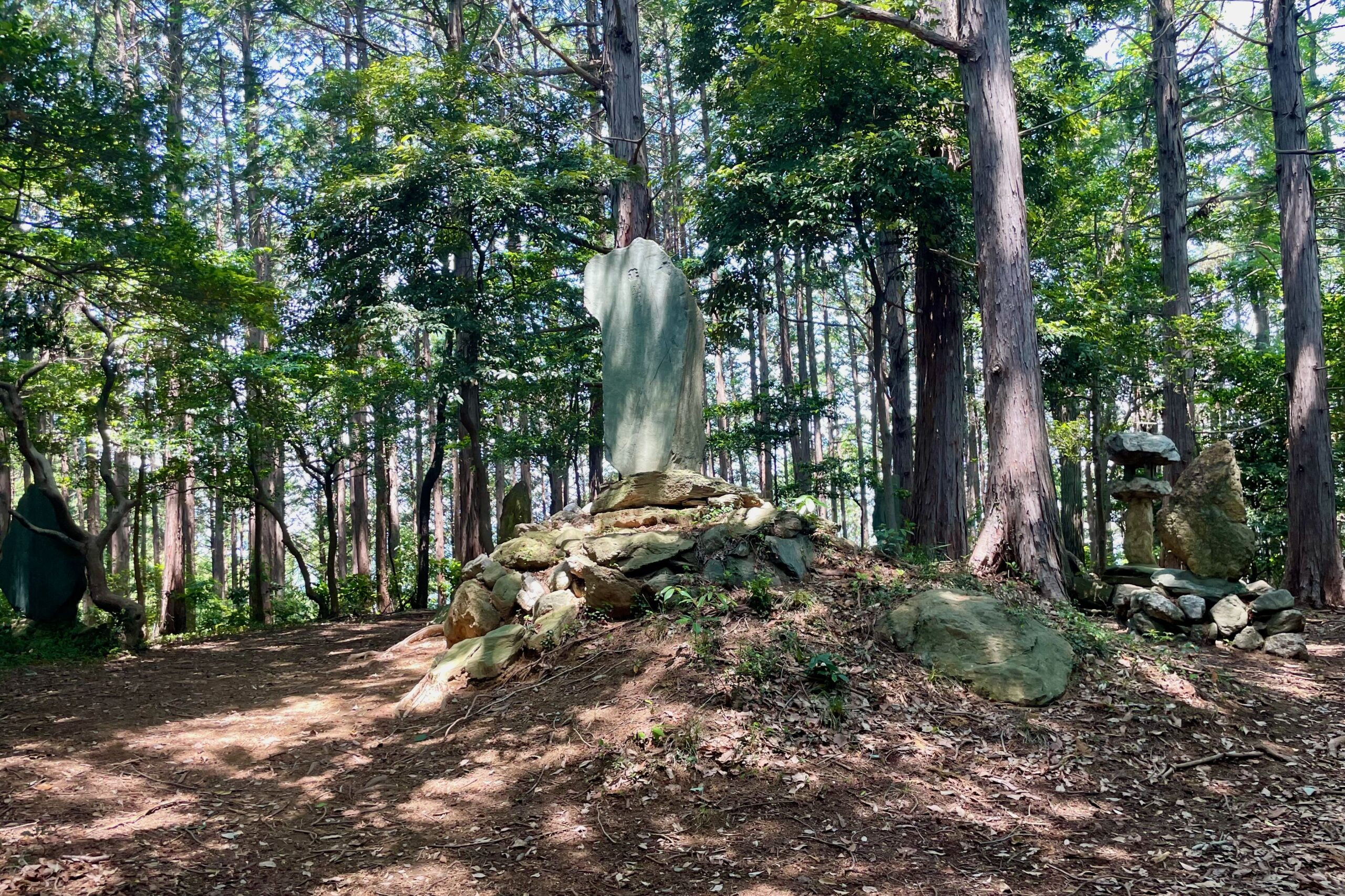
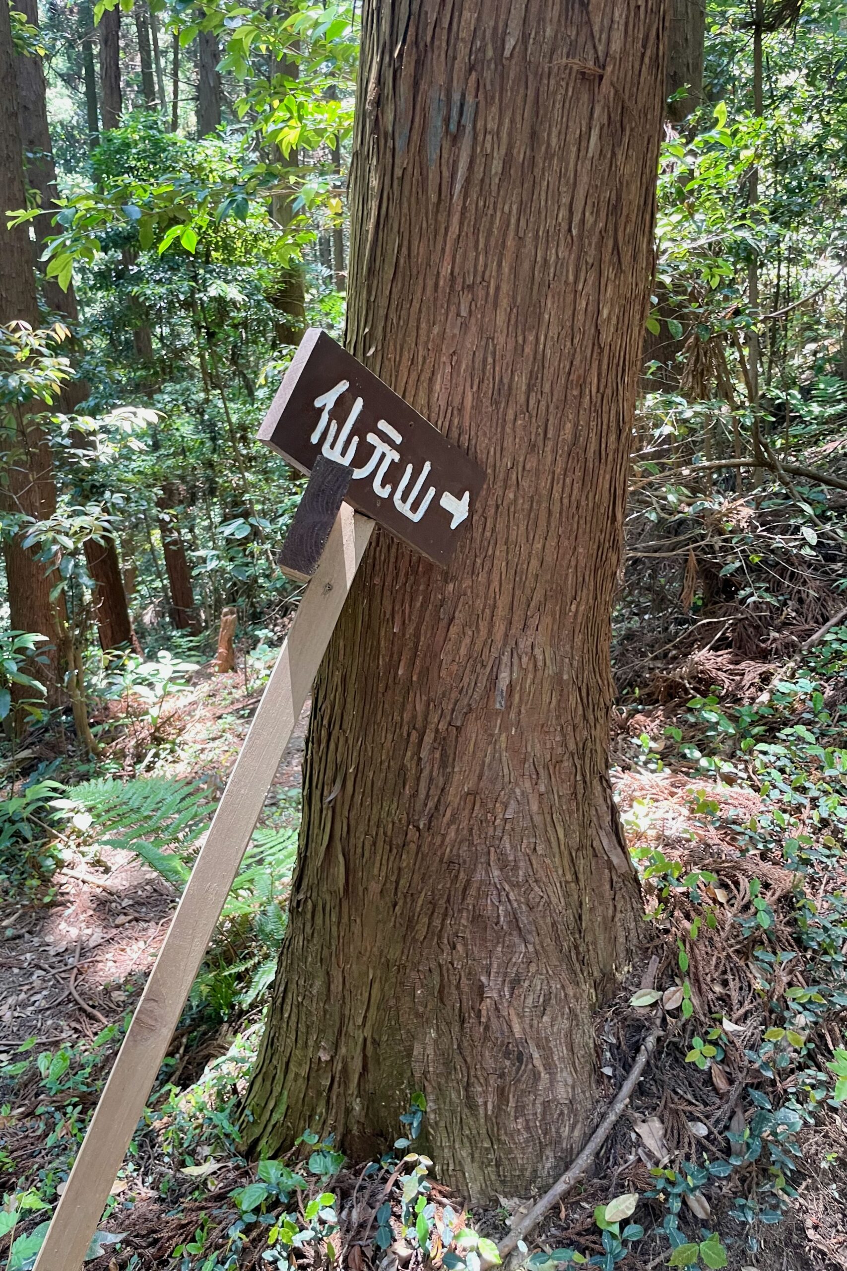
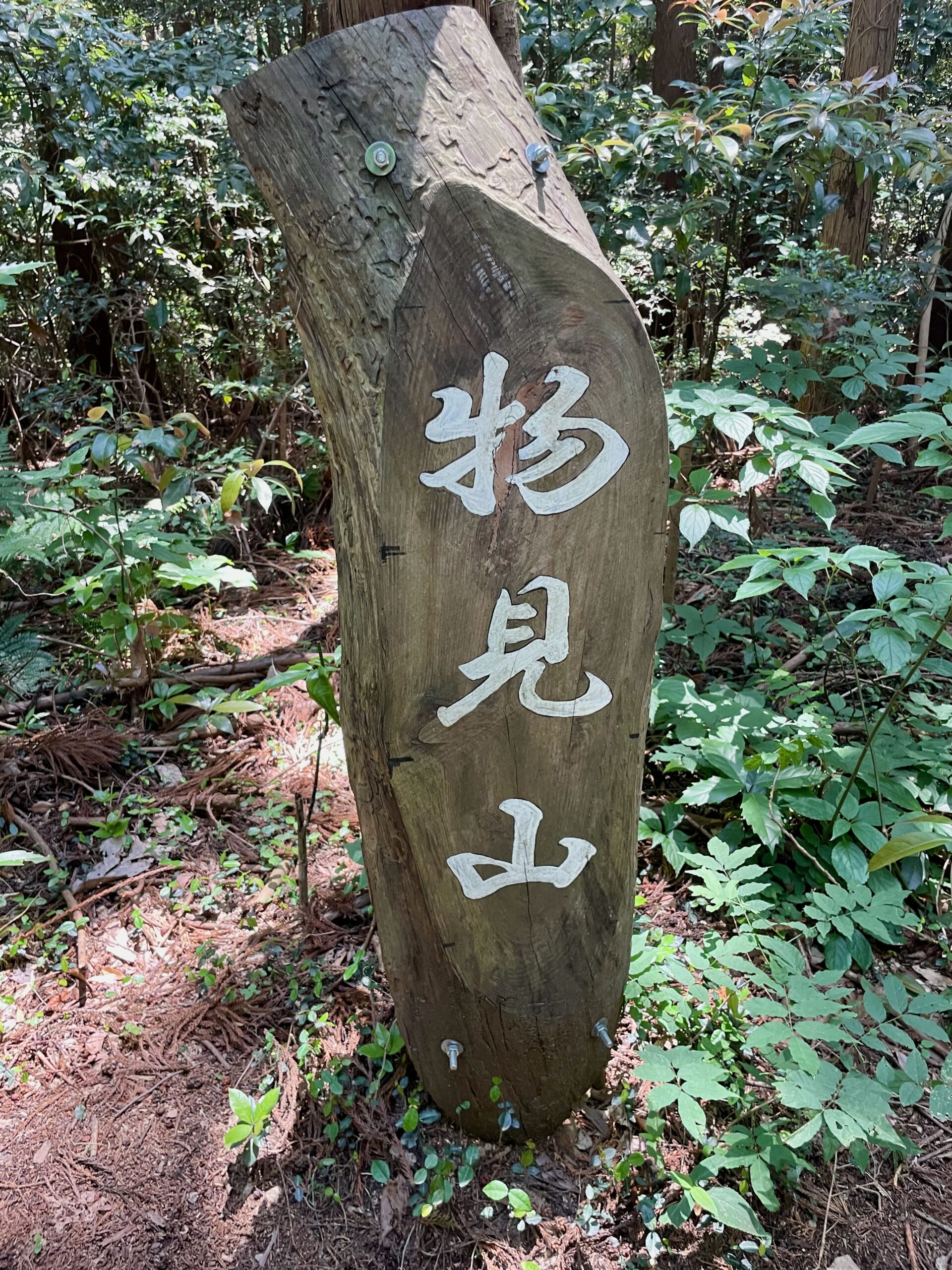
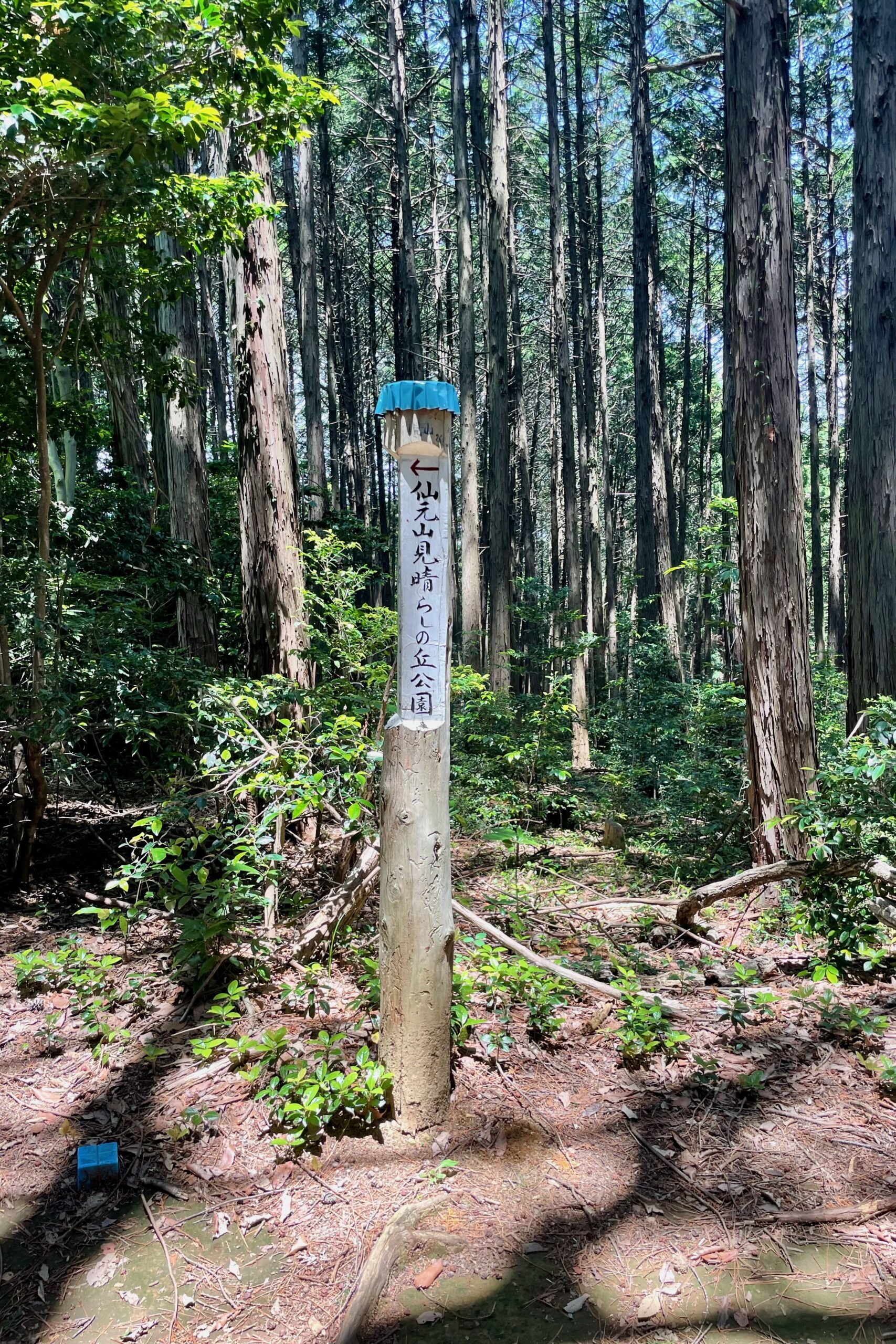
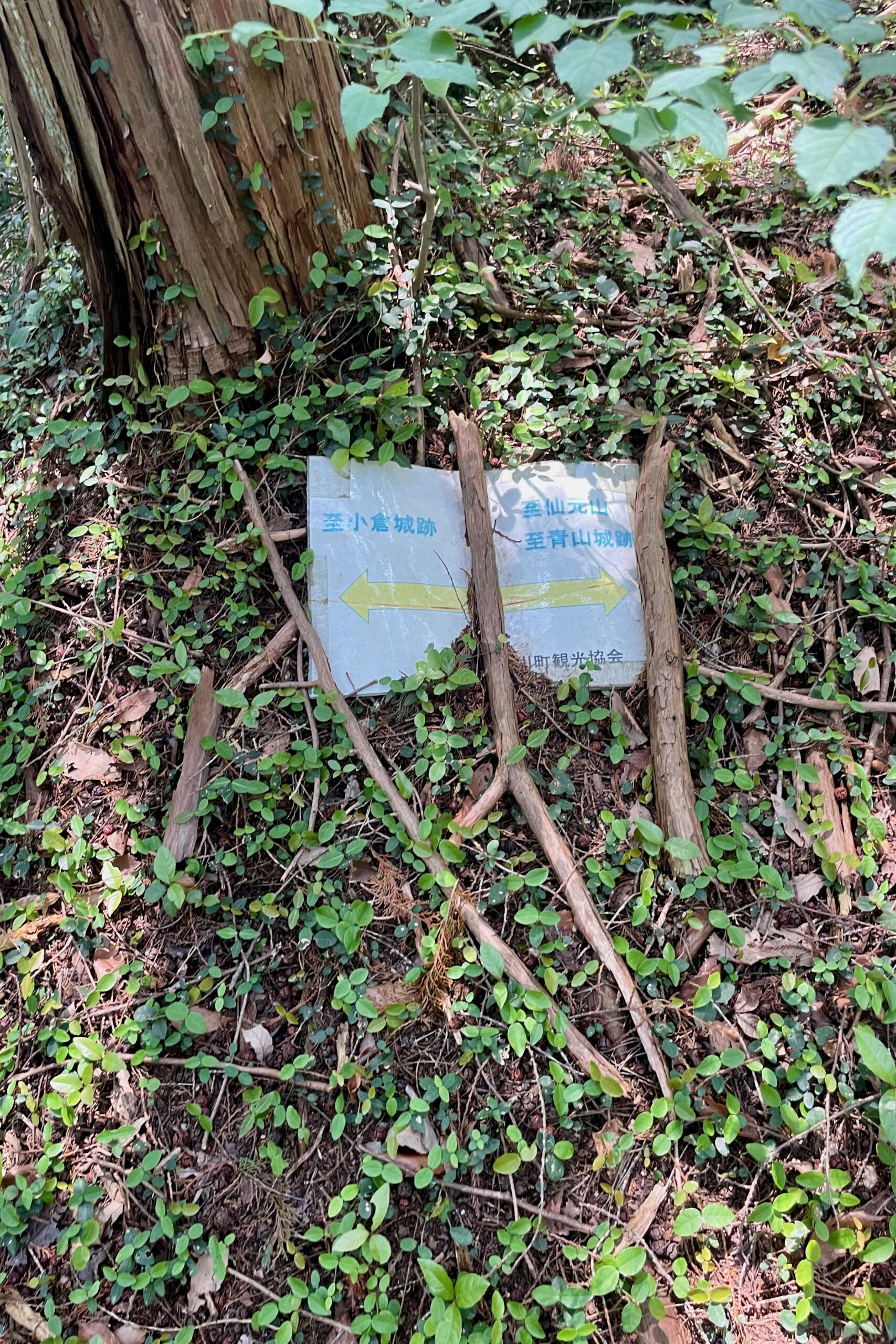
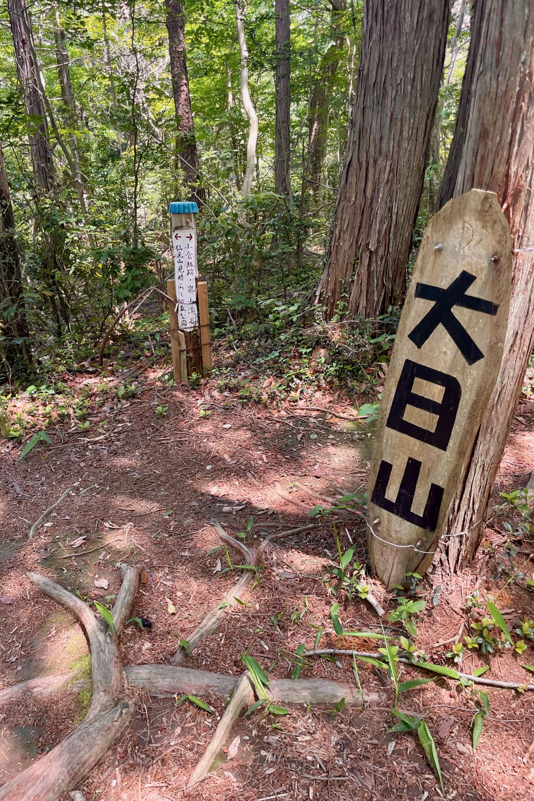
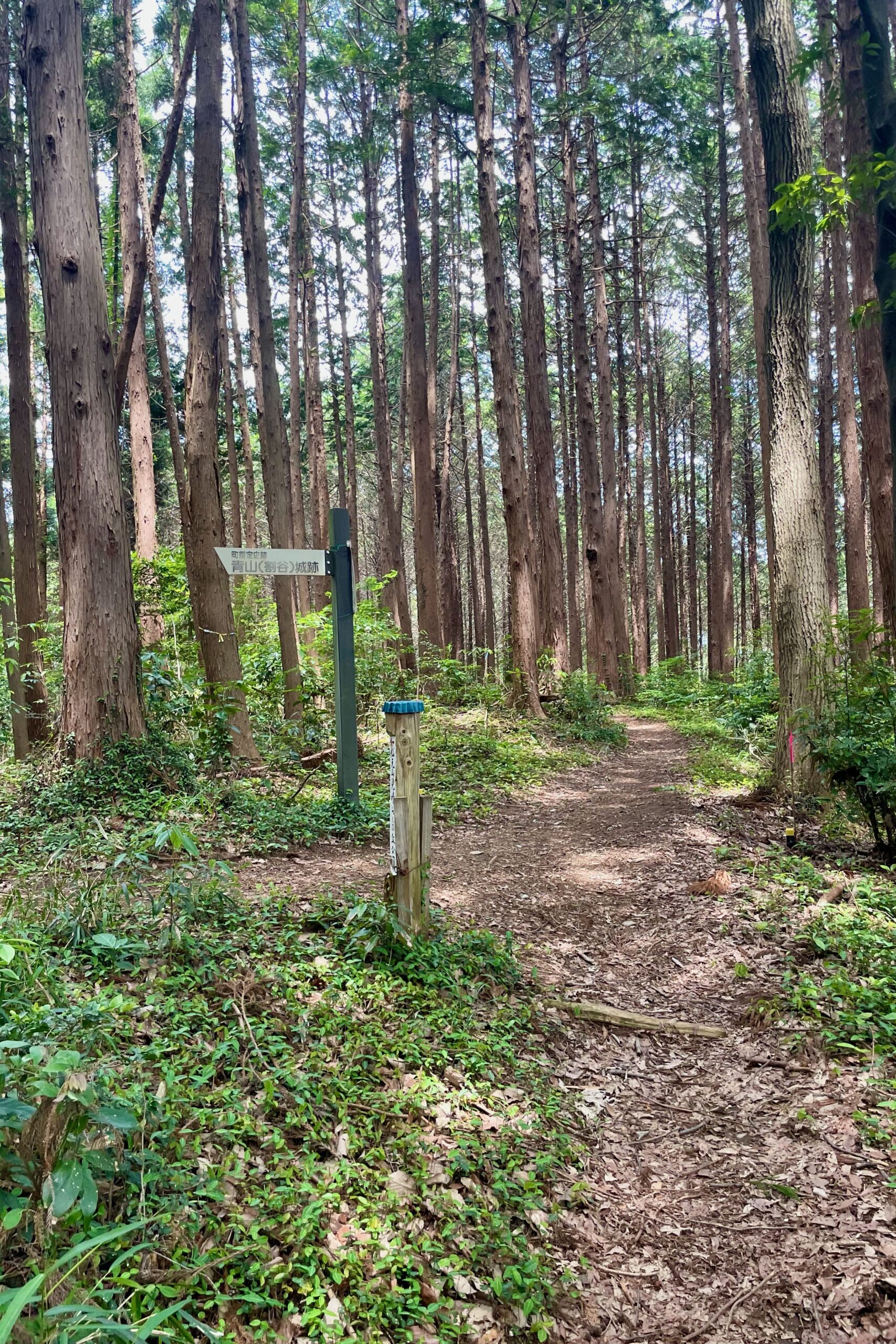
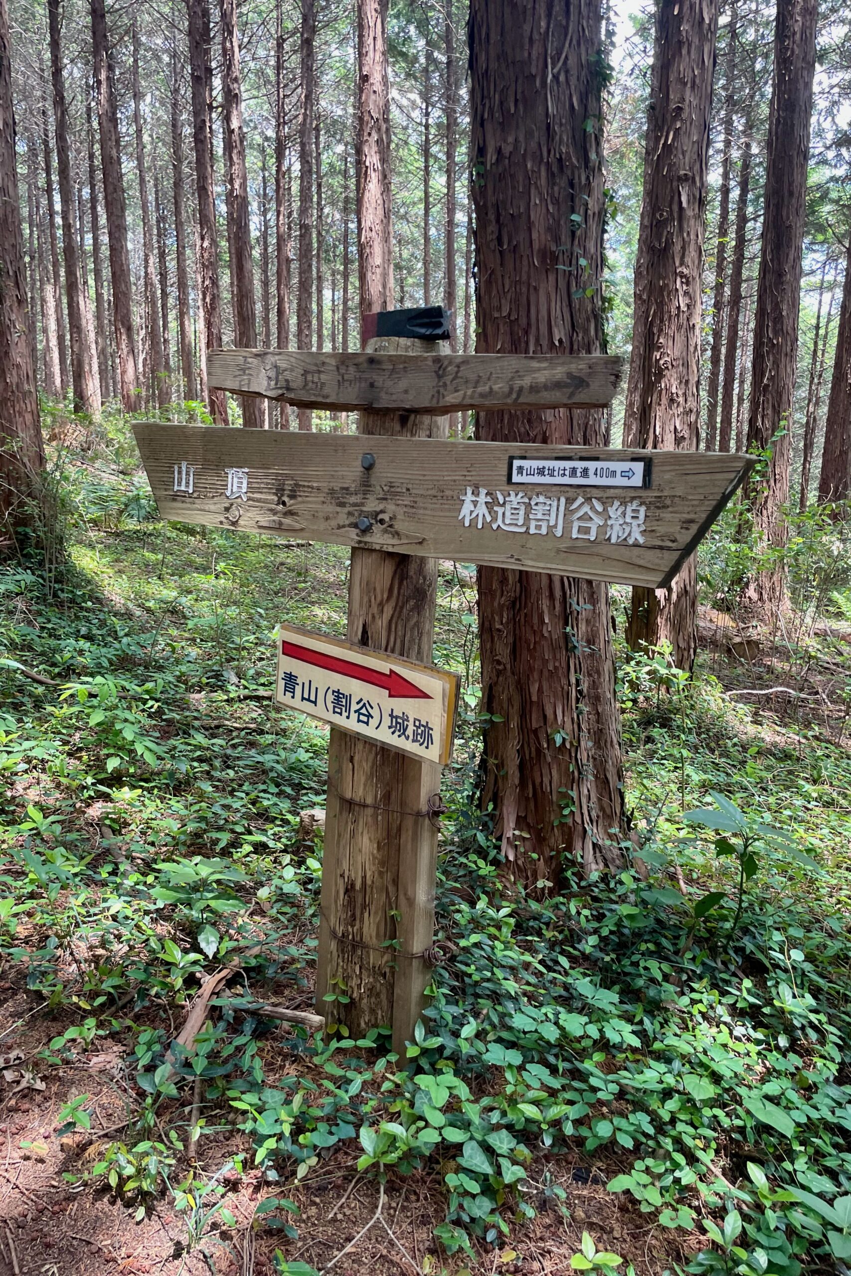
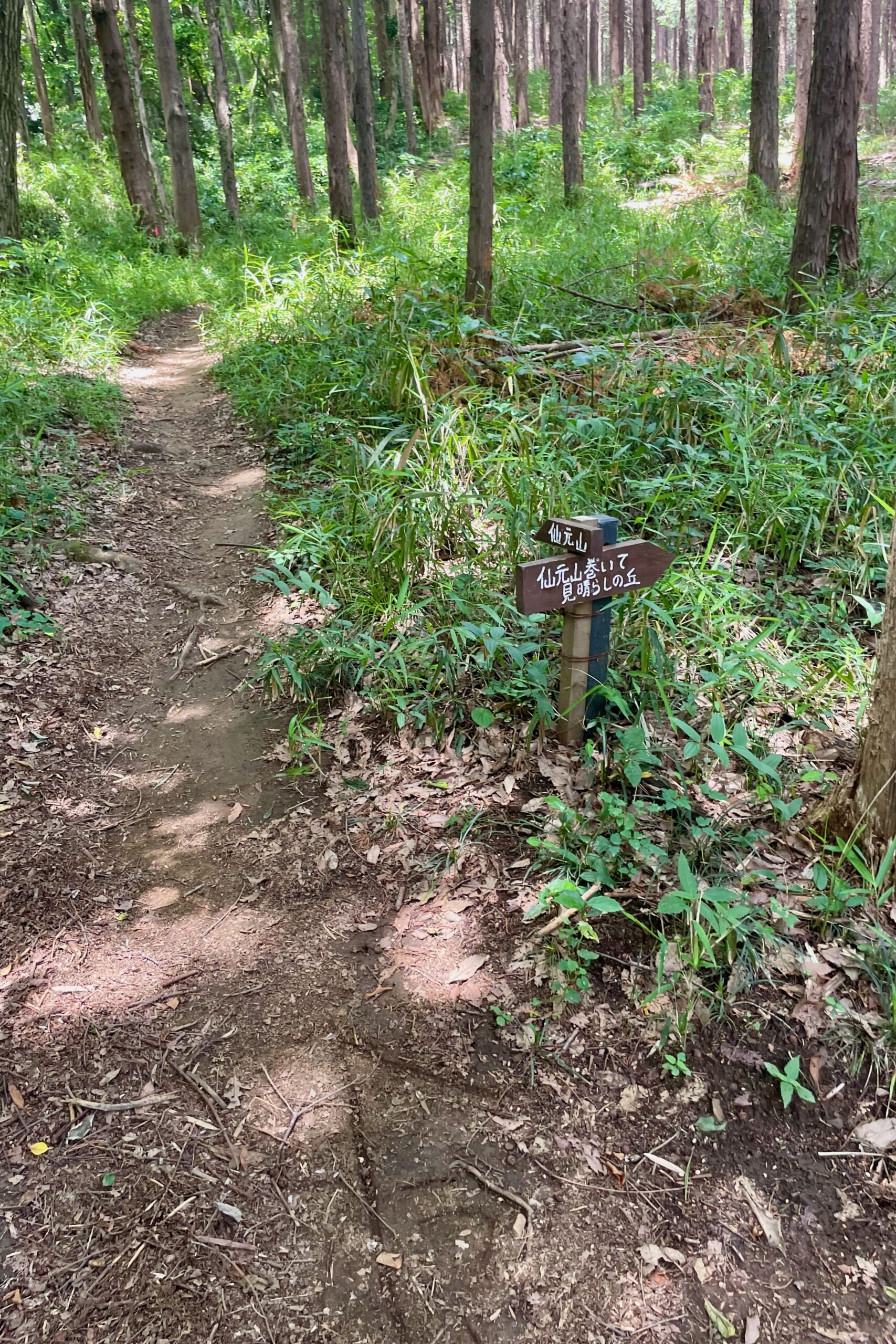
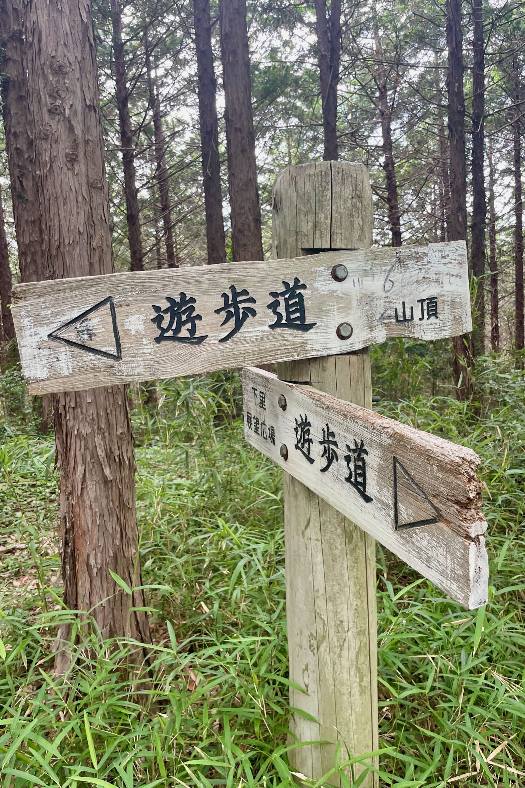
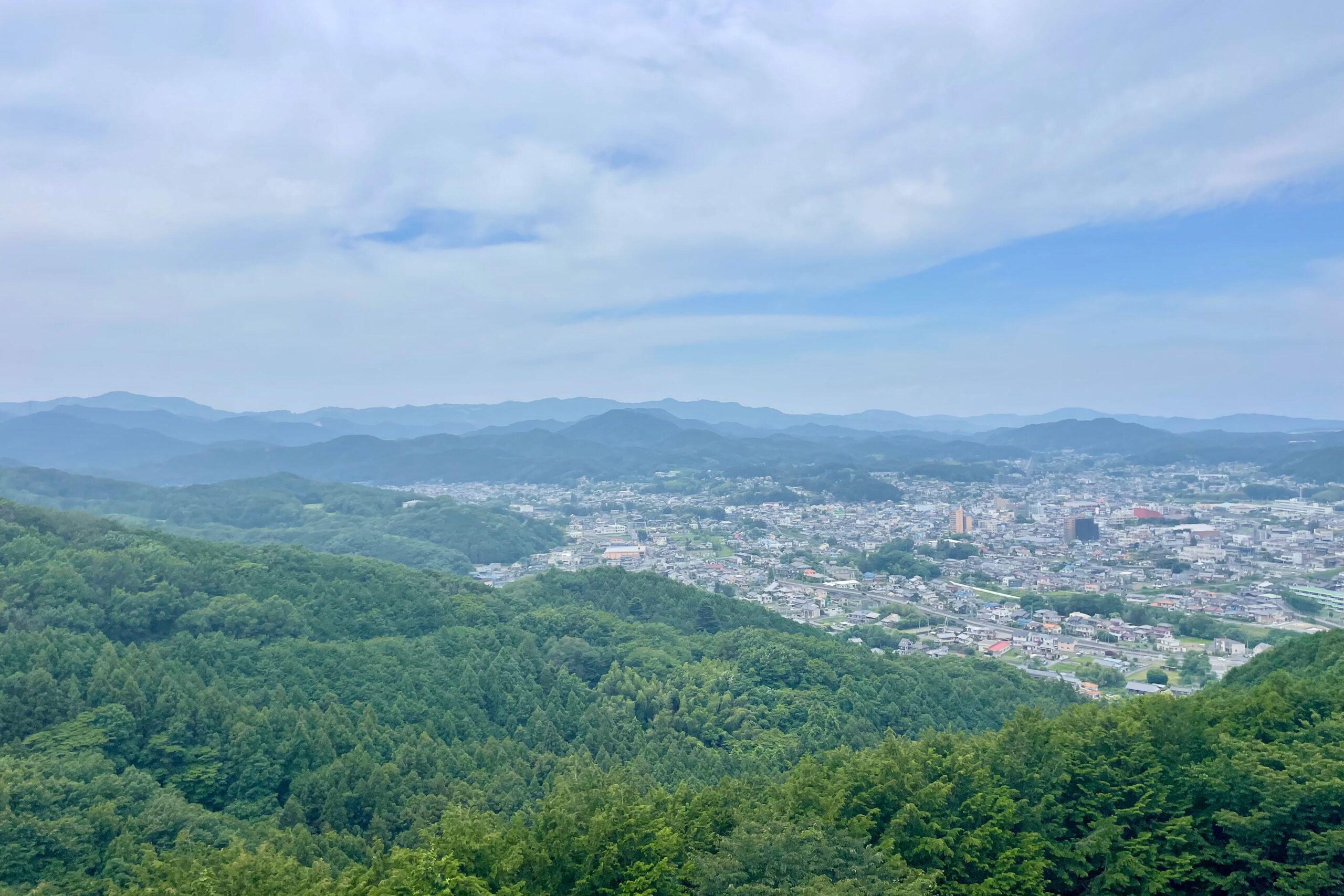
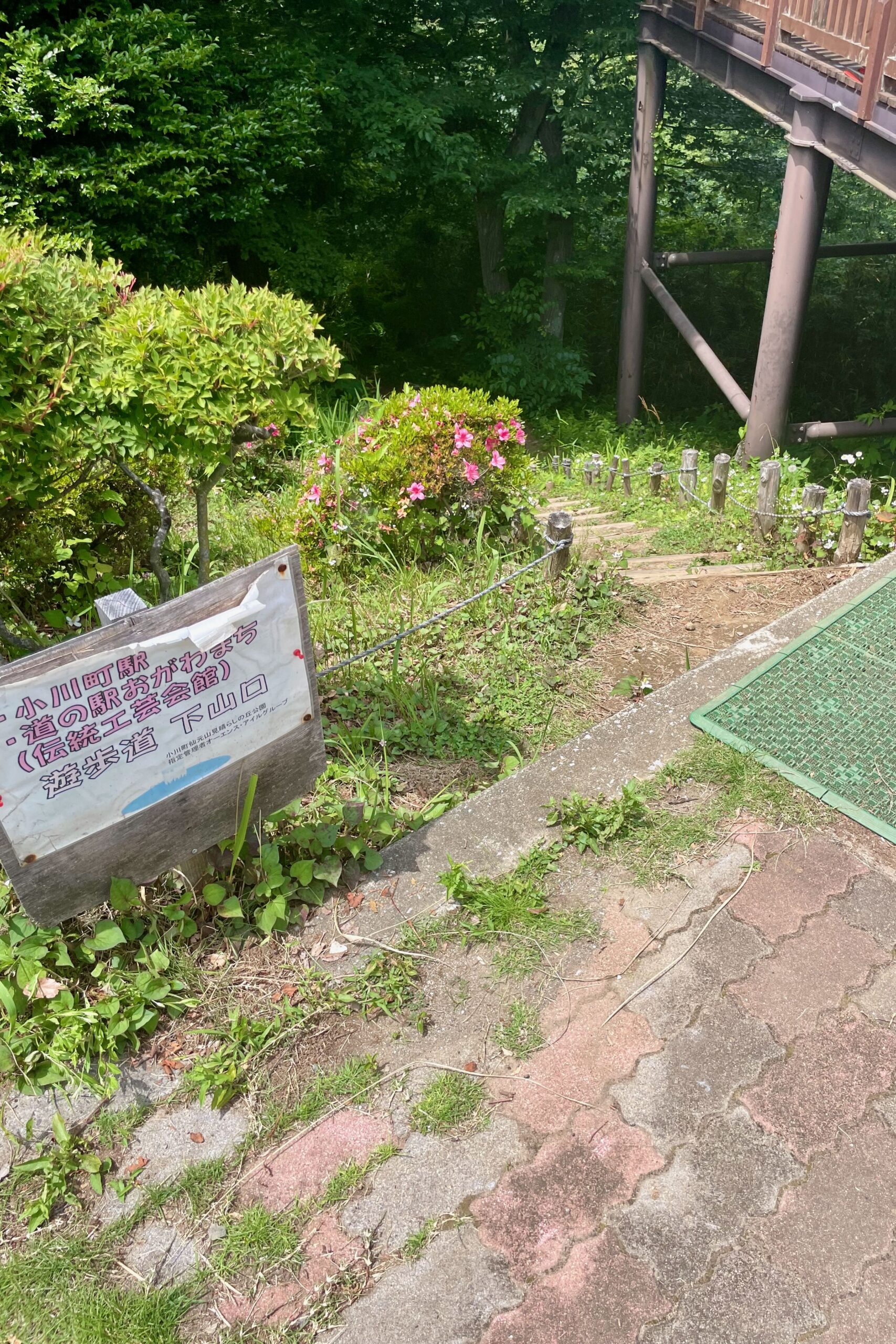
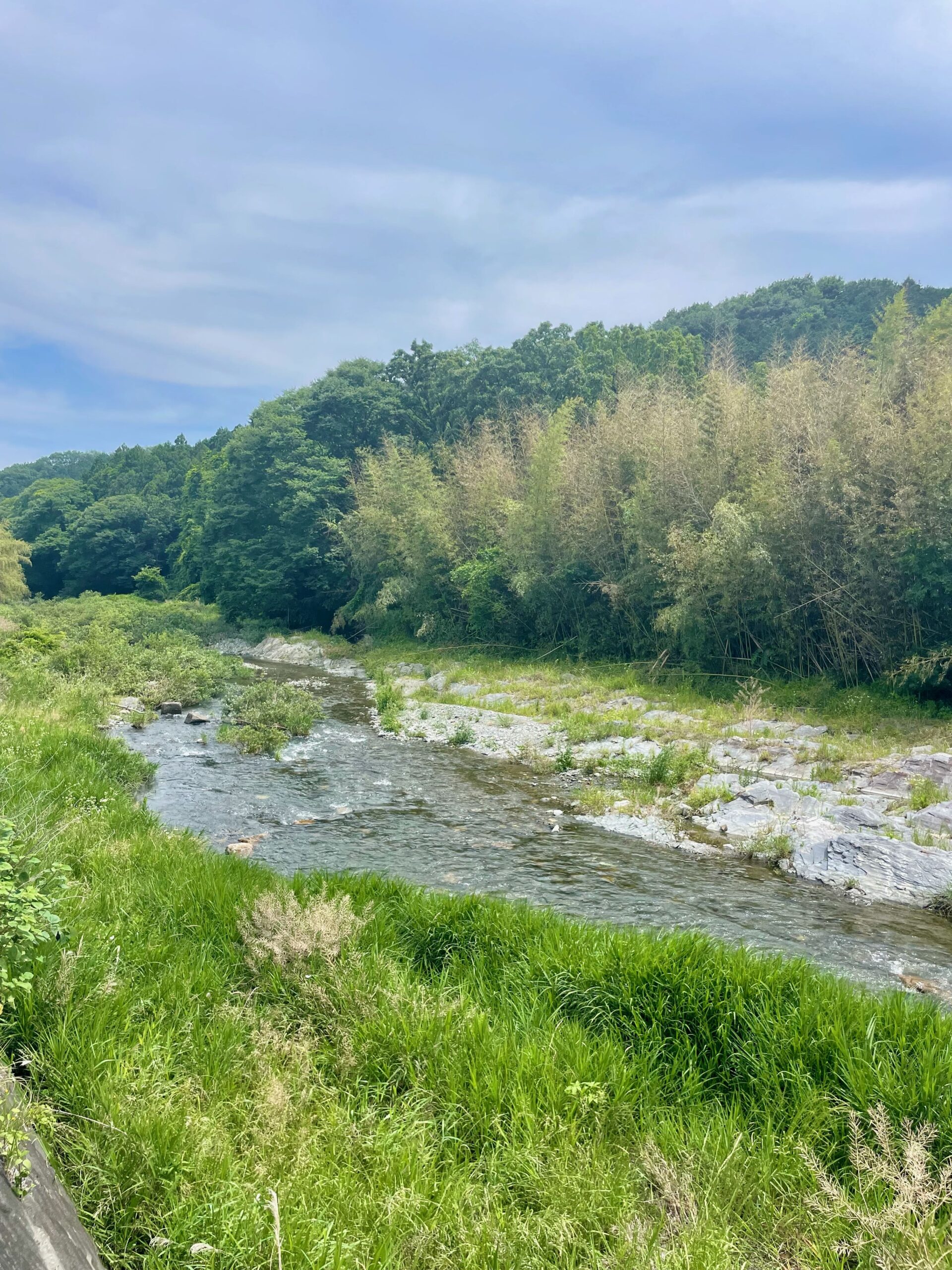
I started off walking up to Obirayama (大平山) which was very quick and easy and was hoping to cut across the river to get to the hiking course on the other side. There was no way across though so I looped back to the car park, crossed the river, then headed towards Sengenyama. The start was overgrown and hard to spot, with the first few signs pointing to Ogura Joseki (小倉城跡) where there is an ongoing archaeological dig round old castle ruins. Once past there, the signs all point to Sengenyama. Once you hit the Sengenyama area it gets a lot more confusing with signs pointing everywhere and a wide variety of signs – some new, some rotten, some just paper on the ground. Occasionally people have written additional information in pen on the signs which is very useful. If you want to go to the park with a nice view, roller side, vending machine and toilets, then head towards Miharashi no Oka (見晴らしの丘), otherwise you can head to the top of the mountain or any of the other trails around the mountain. It isn’t steep so easy to explore though in summer you need to be wary of hornets so definitely stick to the paths. You don’t want to blunder into a nest!
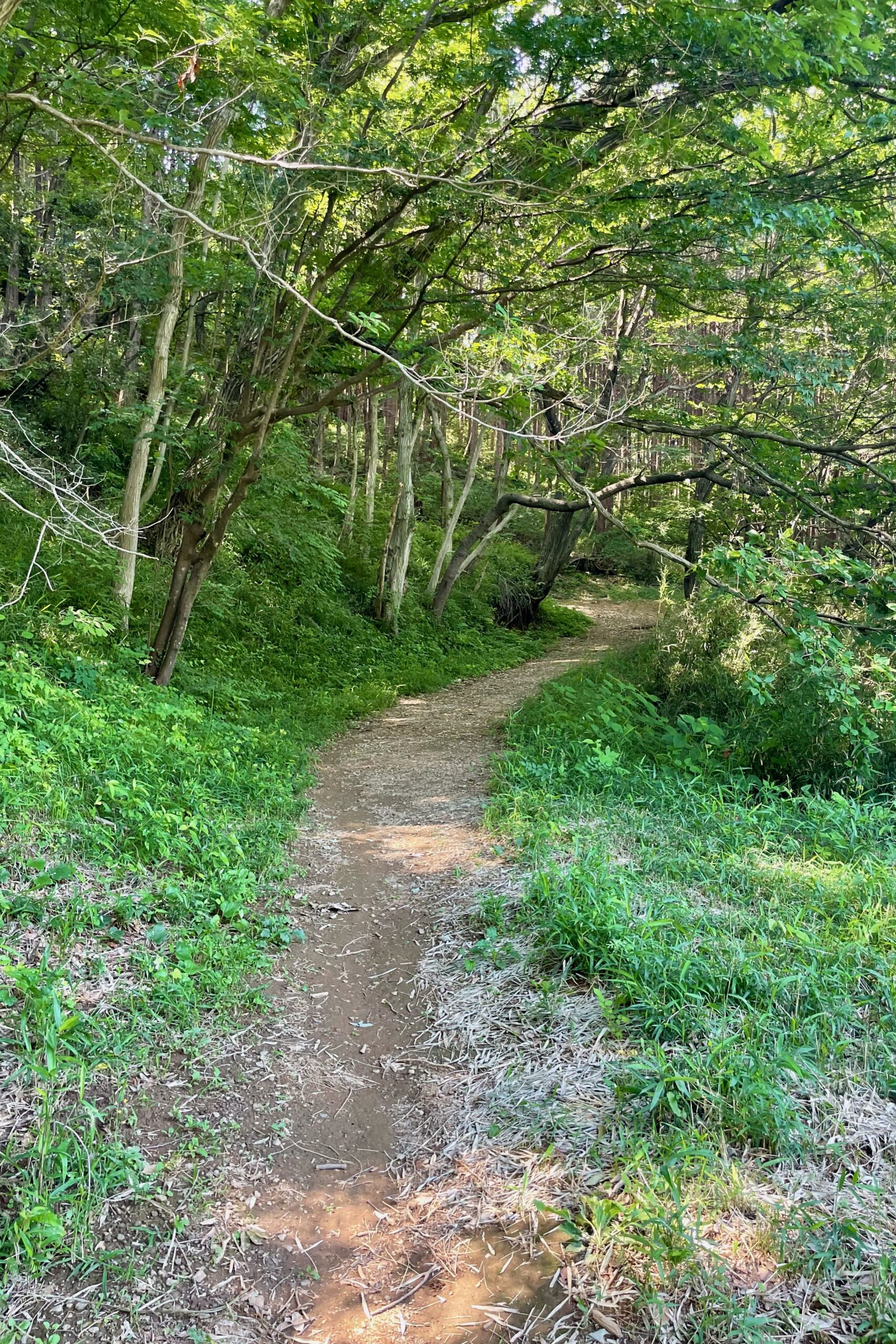
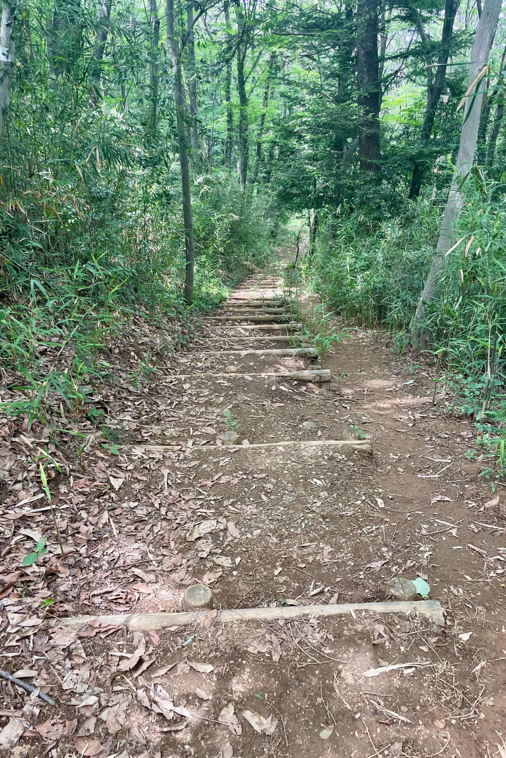
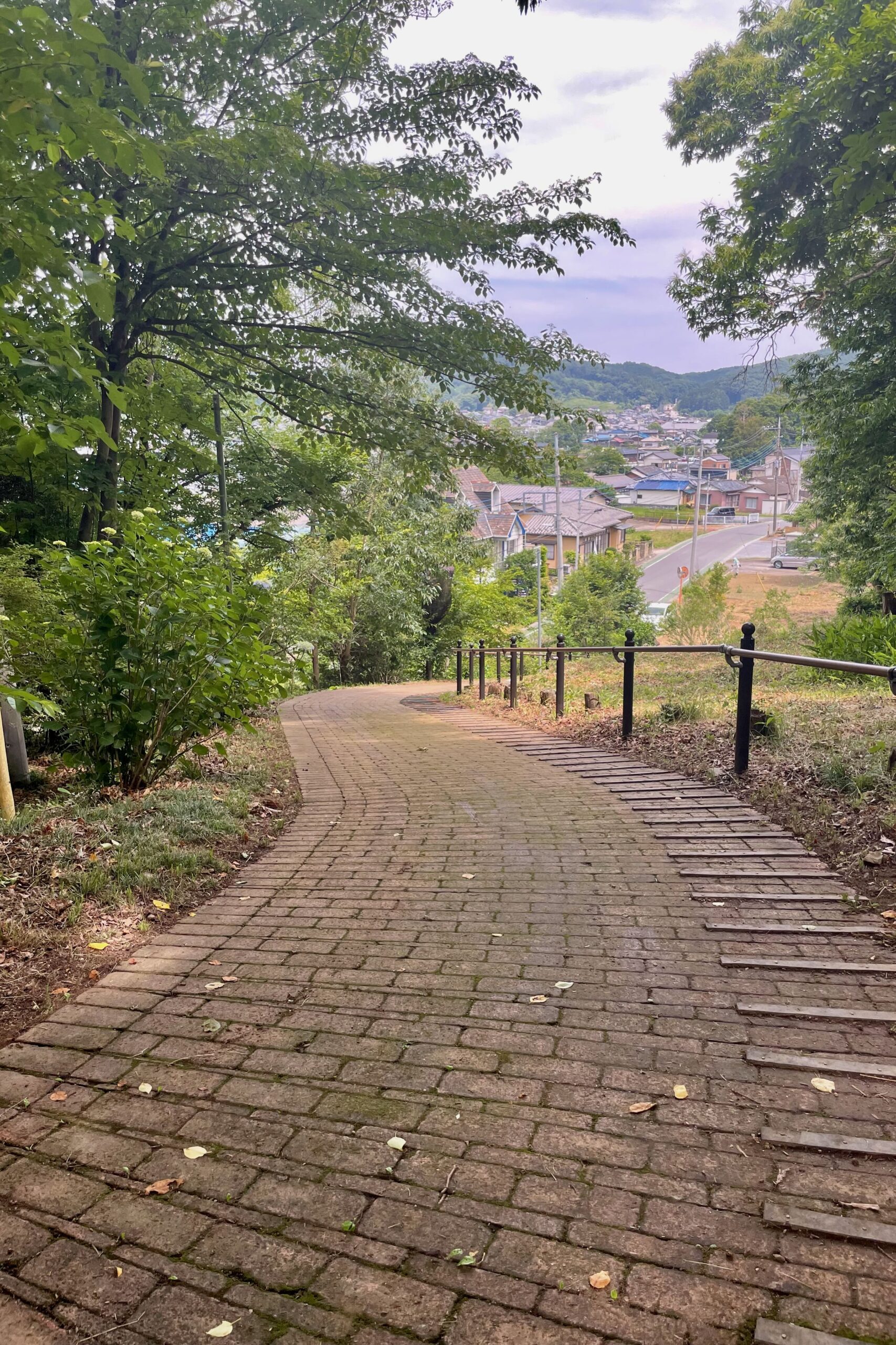
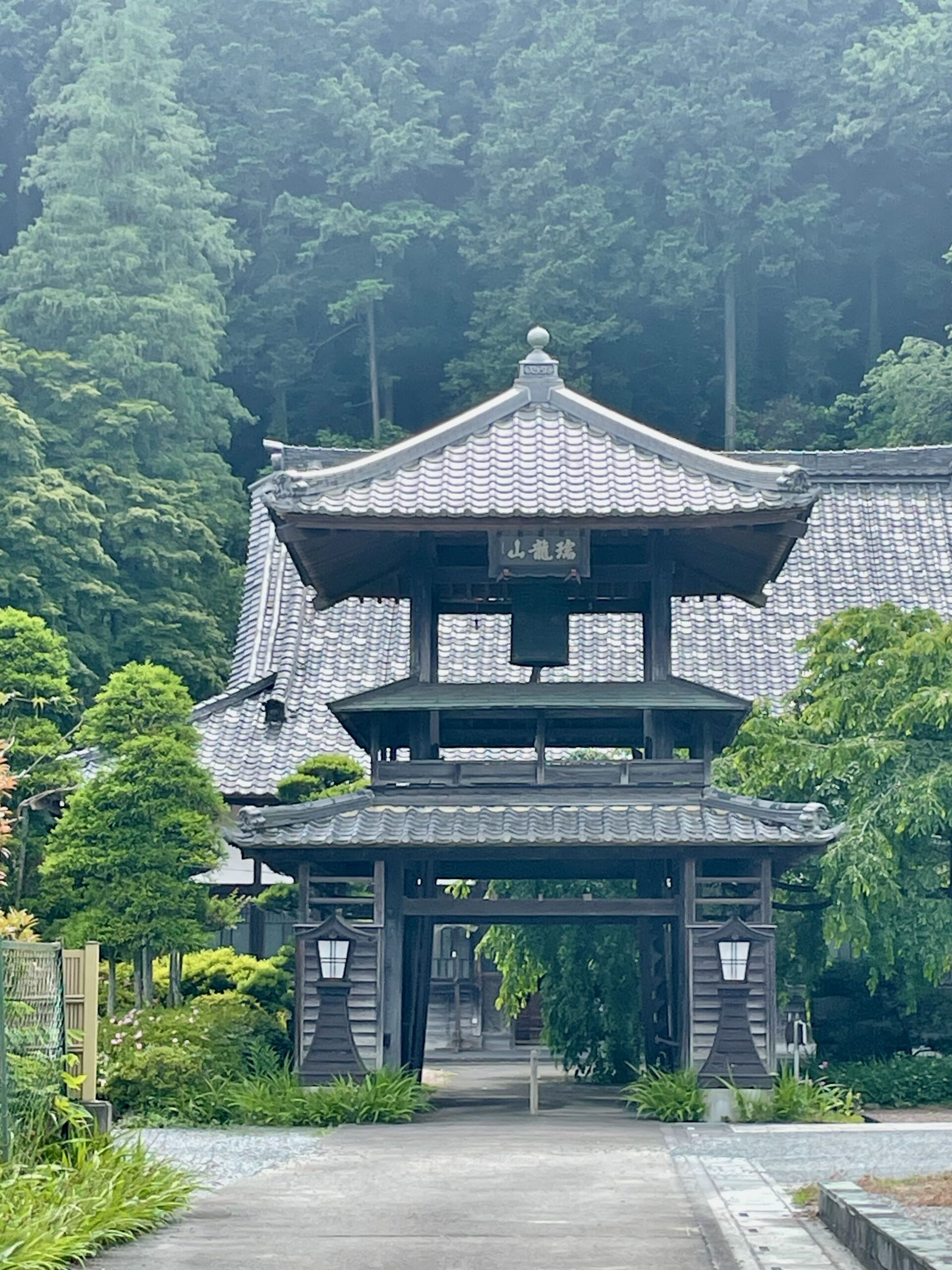
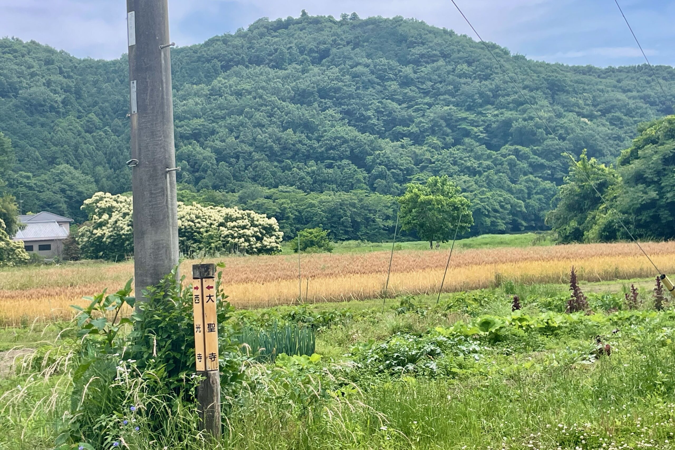
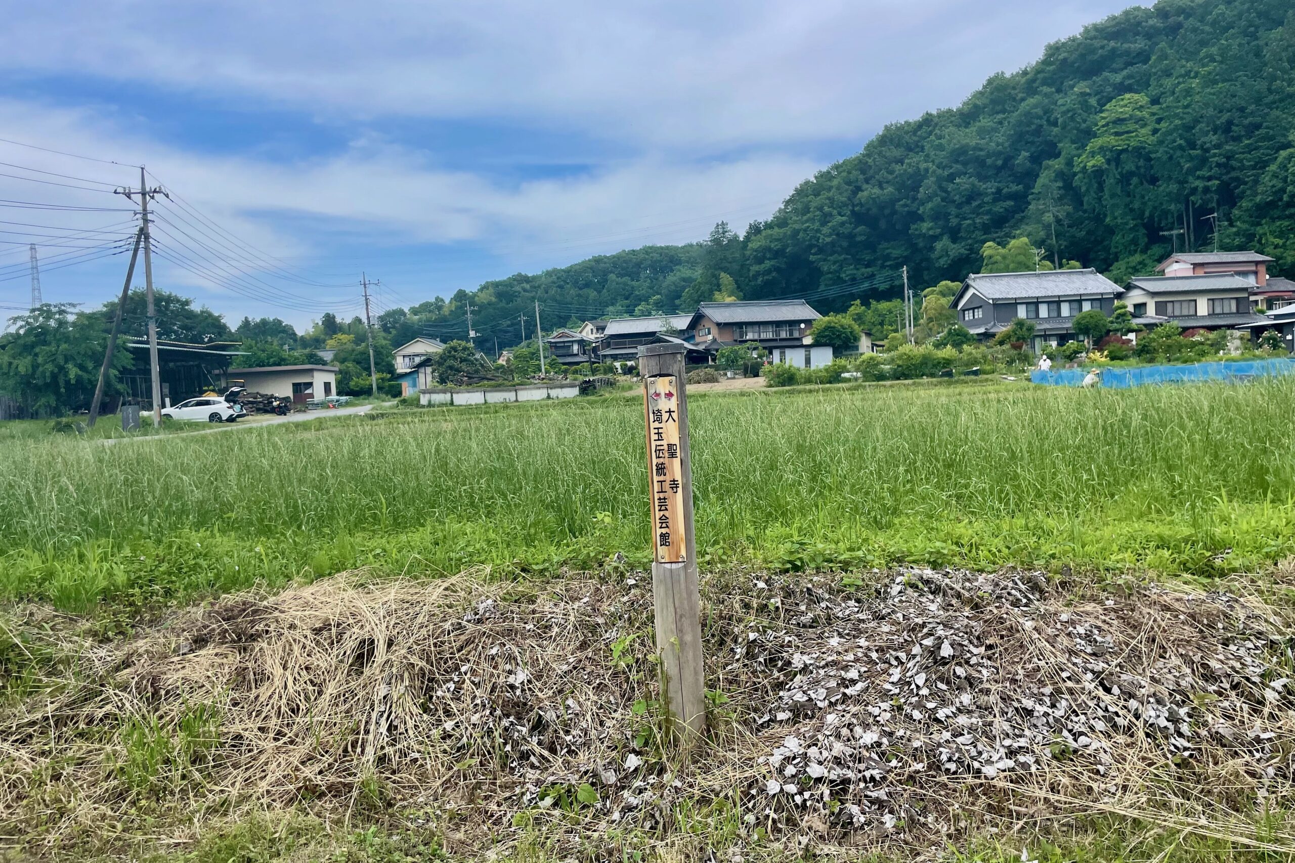
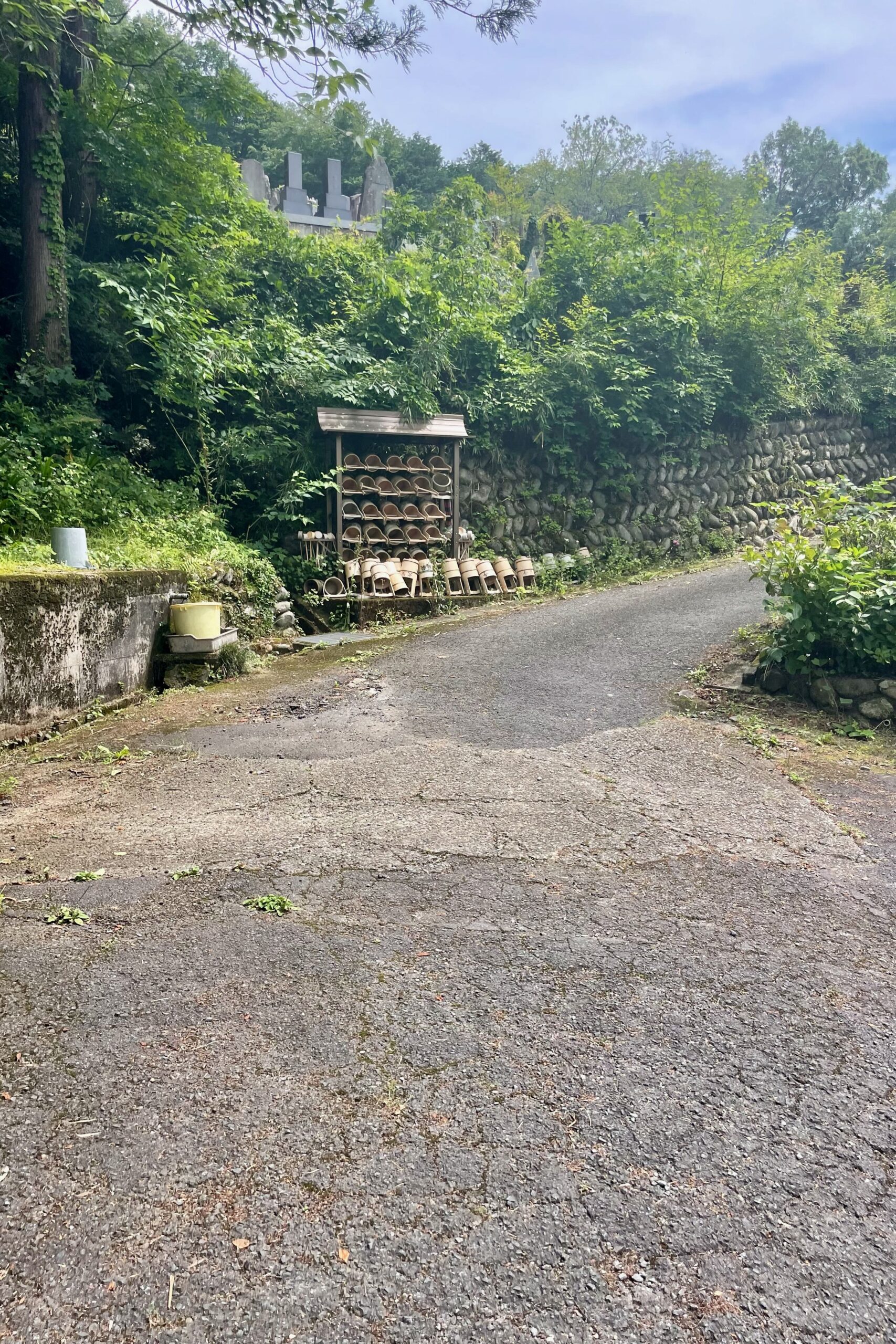
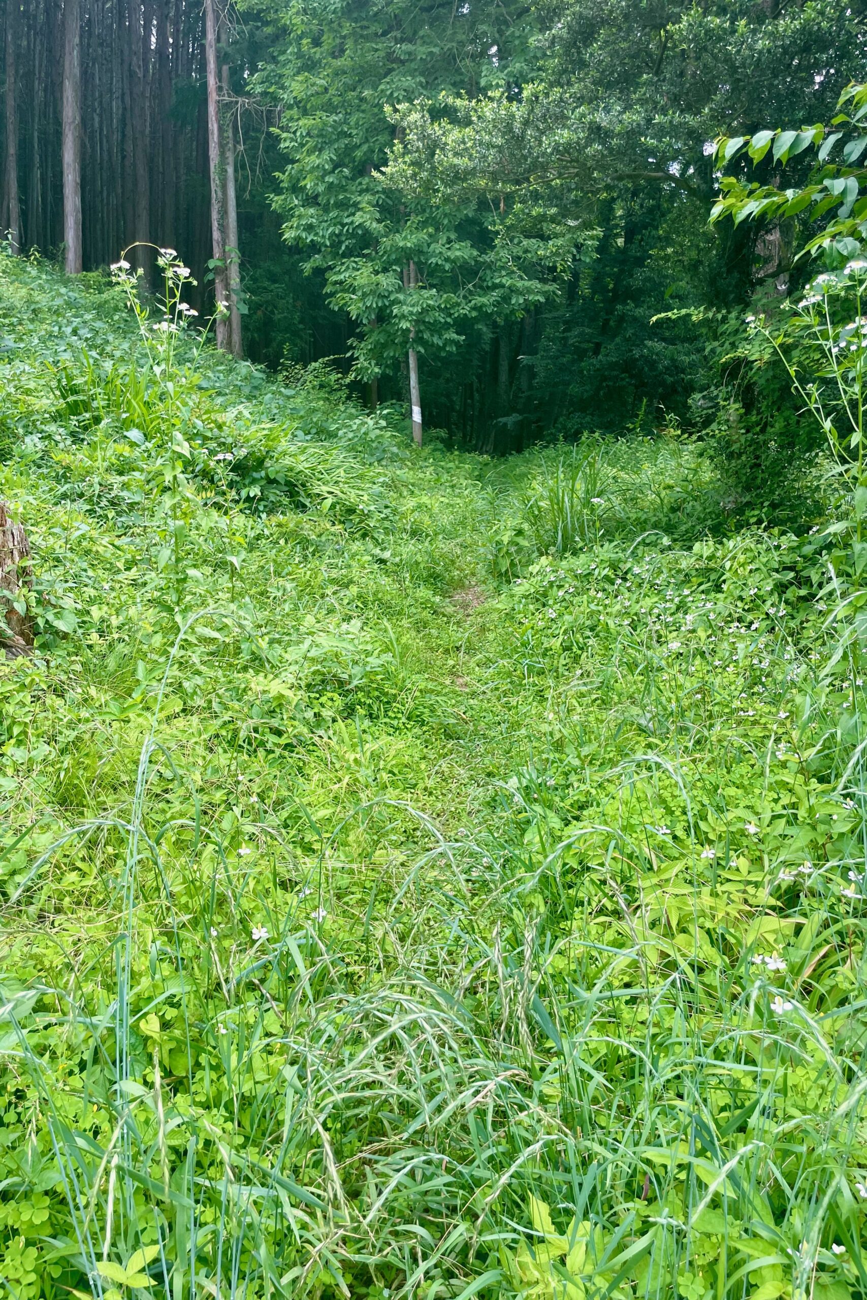
From the park there are signs to Ogawamachi station which you can follow to get down the mountain. It’s an easy descent with steps on the steeper parts. If in doubt just take whichever path heads down. Once down, I then had to get back to the carpark. I didn’t fancy taking the same path back so I decided to take the trail on the other side of river. There were a few signs here and there for other hiking courses so I headed towards Daishoji (大聖寺). If you turn right at the temple there is a very well hidden and overgrown trail where I doubt many people have passed recently. Once past the first overgrown bit it is a regular path, but narrow with plenty of spider webs so I highly recommend holding a stick or something in front of your face as you walk.
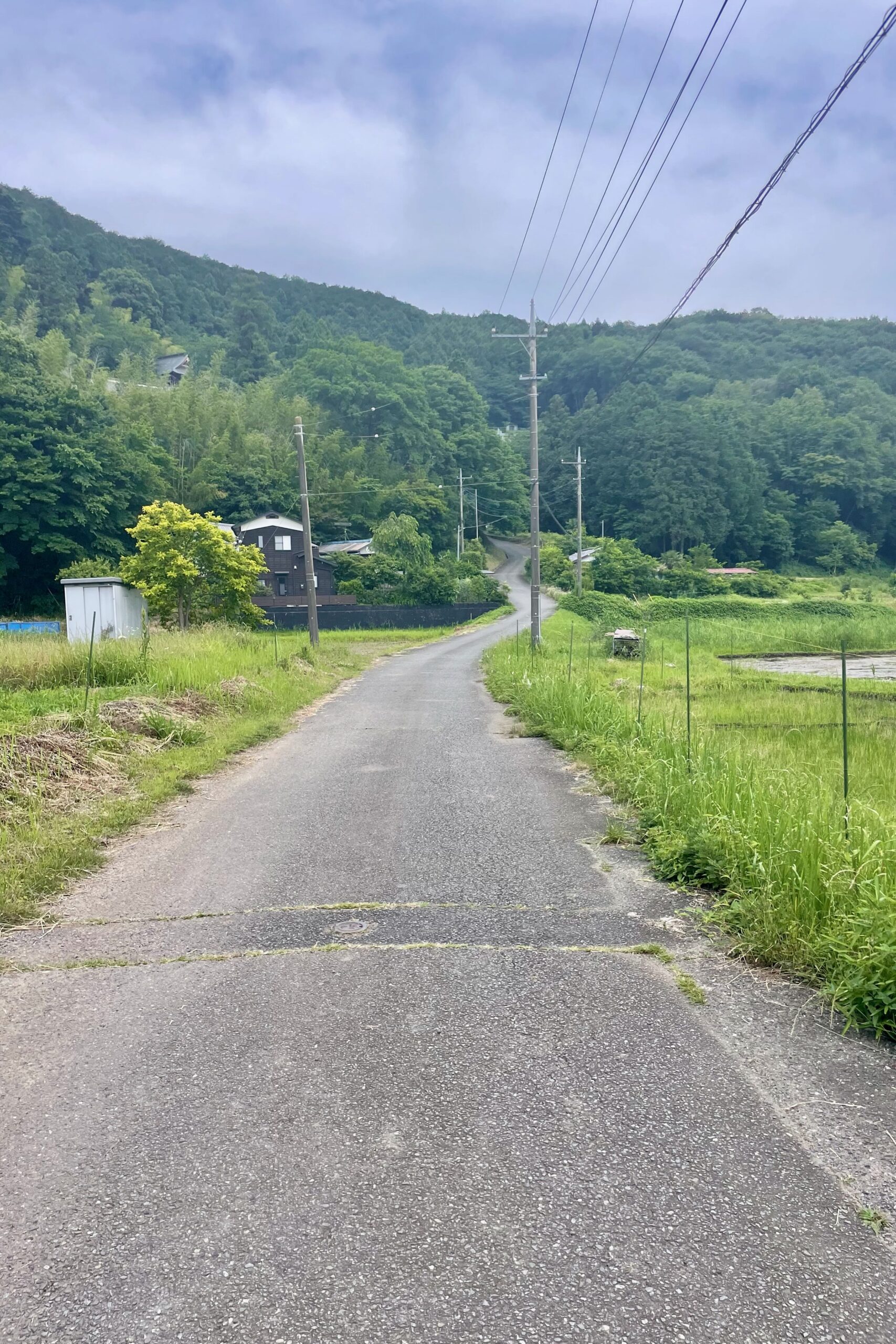
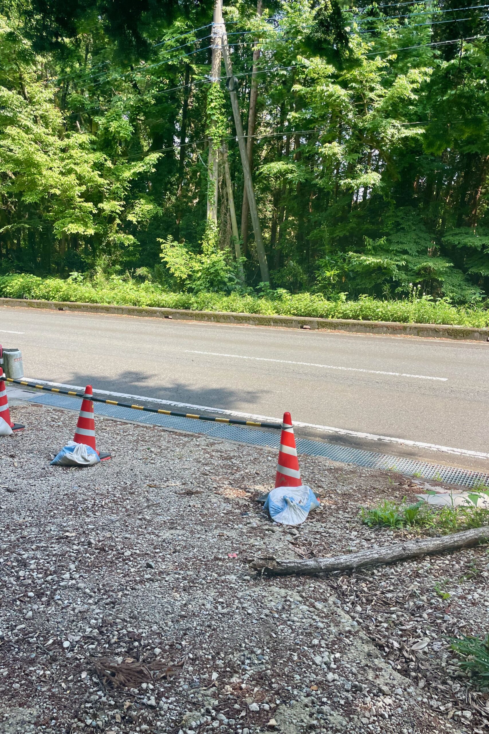
I was exhausted by this point and the trail seemed endless but I guess in reality it wasn’t too bad. It’s easy to follow without many branches and you will eventually pop out onto a road, which you then follow straight back towards the carpark. All in all the walk itself is nice but I don’t think I’ll be going back until the Autumn. I also suspect once barbecue season starts the carpark will be jammed full from early in the morning.
Discover more from Nature Escapes
Subscribe to get the latest posts sent to your email.

