March 9th, 2025
Start&Finish: Higashi Agano station to Agano station.
The weather: High 13 Low 1 (but we had sleet and a high of about 6 the day before so the air was cold)
Outfit/Equipment: Warm hiking trousers, long sleeve undershirt, hoody, down vest, hat, gloves, hiking shoes.
Map: We started off on this map, following the green route* to kaburitouge, then we we added on a return journey to Kuroyama Santaki, before continuting the original route to Agano station. *the green route was partially closed.
Crowds: Occasional hikers. Not busy but not deserted either.
Time: 9:30 to 3:15
Difficulty: 33,000 steps, 212 flights climbed.
If you’re up for a challenge then this might be the walk for you. We started off in good form, heading for Kaburitouge. It had rained / snowed the night before so we were a little worried about the snow, but apart from the odd patch in the shade there was no snow left. It was damp though which made the path very slippery.
The start was very easy, just a long uphill climb along a road, on and on, for around an hour. We should have turned off part way into the mountains but the route was closed off for repairs so we had to just keep on following the road. We got a bit bored so decided to take a side route to Suwa Shrine which we hoped would lead us on to the red hiking course that was above us. It did indeed – our sense of direction must be improving! We followed that trail for a while but then ended up back on the road again for the last bit up to kaburitouge.
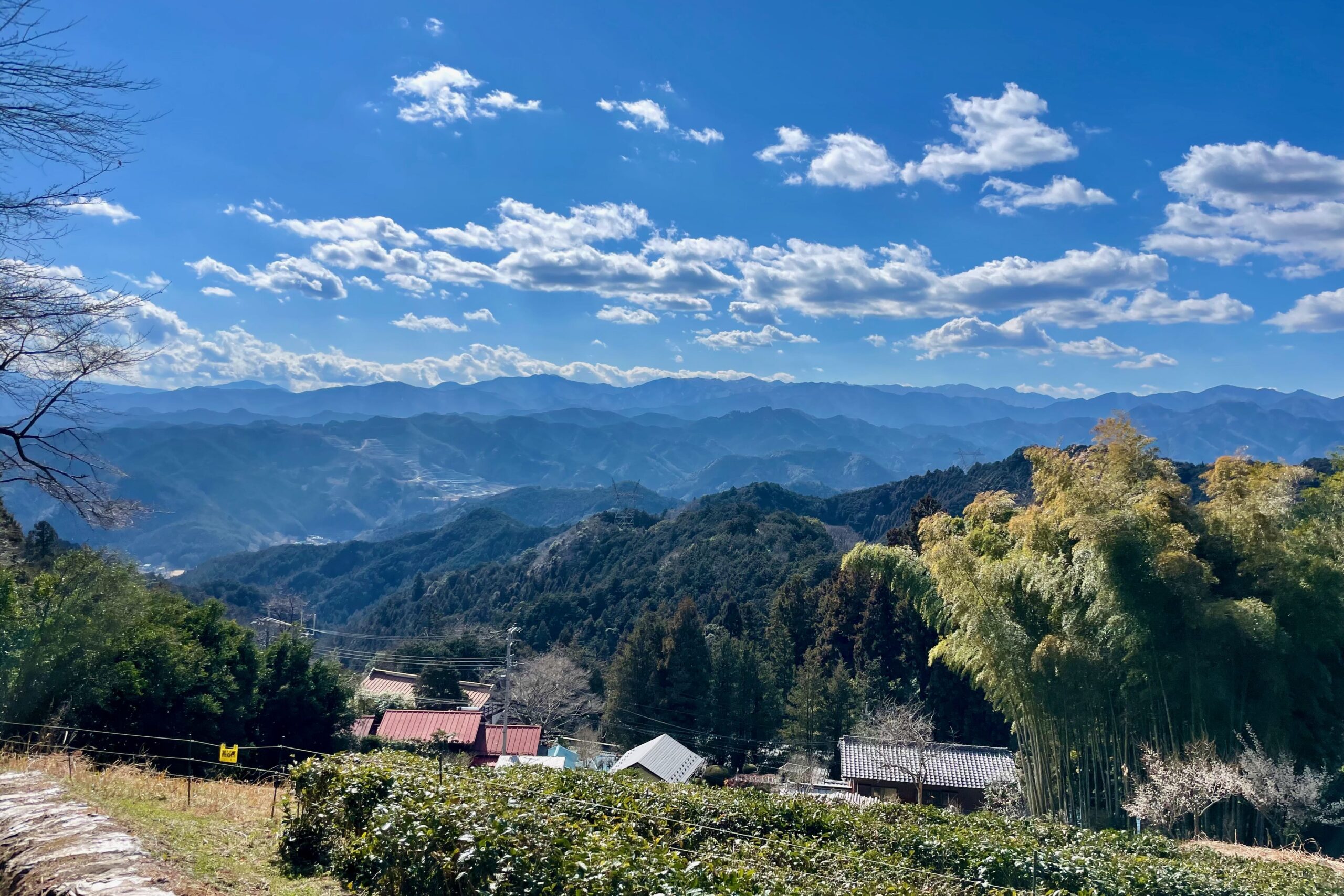
The weather was lovely, there was plum and what looked to be sakura in flower and it was warm and sunny. We’d been walking for about two hours by this point but weren’t quite ready to head back to civilisation so we decided to see where else we could go. There were signs to Kuroyama which we’d intended to visit at some point and it looked reasonably close – 2.4km or thereabouts – so we thought we’d add a little side trip there and back.
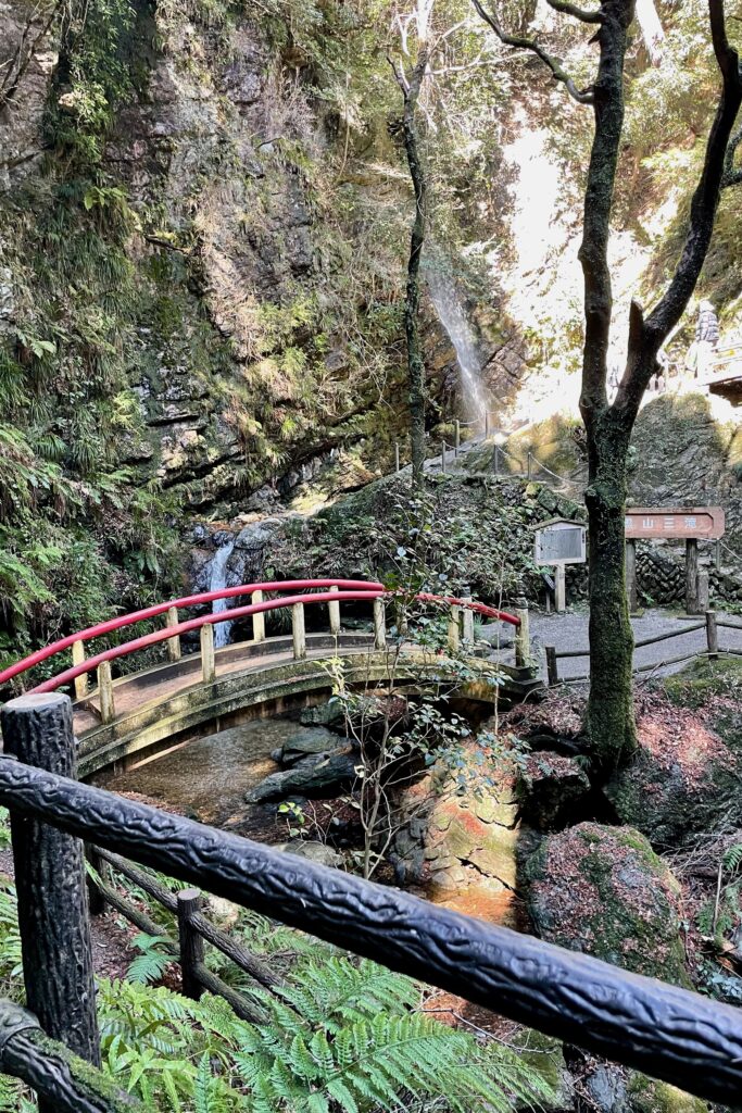
Whilst not particularly difficult it’s not an easy addition. You head down, fairly steeply in parts, with chains to hang on to. It was slippery underfoot and you have to cross the stream you follow down a few times. Sadly I slipped and stuck my foot in a deep part so not even my amazing waterproof shoes could save me. Thankfully my wonderful husband had a spare pair of socks (note to self: carry spare socks) so I could continue the walk with relatively dry feet.
The Kuroyama Santaki area is very pretty and a popular day trip so there were plenty of people around the waterfalls and we could have had dango and roasted fish had we been in the mood. We knew we still had a fair way to hike though so after a quick trip to the handy toilets we reluctantly turned our backs on the delicious smell, and headed back the way we came as there seemed no other route back.
By this point we’d been walking for over 3 and a half hours and I was nearing the last of my energy. That long hike back to kaburitouge was awful and I found myself having to stop every five minutes or so to get my breath back. It felt never ending, the going was slippery with big steps up and lose stones to trip you up. I have never been so glad to get to the end of a trail! I was wondering how on earth I was going to manage the hour and a half we had to go, but thankfully from there onwards it was easy going. The path was nice and soft, not too steep, and there were some nice views to distract me from how tired I was. We made it back in good time for the train and collapsed into it’s warmth gratefully.


Discover more from Nature Escapes
Subscribe to get the latest posts sent to your email.