May 11th.
Start&Finish: Parking near Sawaranoyu. We intended to park at the onsen but it was already full!
The weather: High 26 Low 14
Outfit/Equipment: Light trousers, quick dry tshirt, hiking boots, gloves, hat, sunscreen, plenty of water.
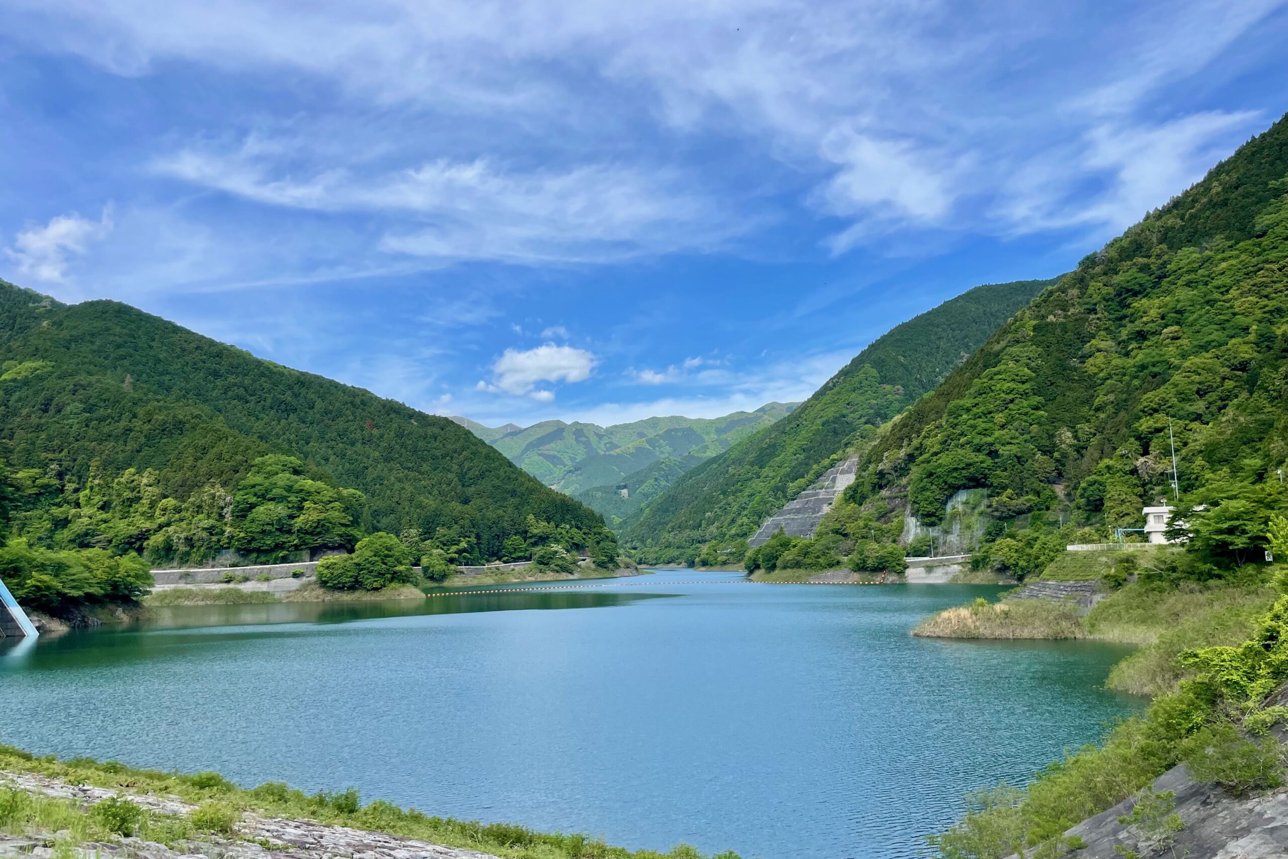
Map: we followed this course again.
Crowds: There were plenty of people, and quite a few university hiking groups too.
Time: 9:00 to 12:45
Difficulty: 18,500 steps, 181 flights climbed.
The last time we went on this hike it was winter; freezing cold with icicles and snow on the peak. I knew that I wanted to go back because Naguri is a beautiful area, so today was the day. It rained the day before so the going was quite muddy and slippery. You have to cross a stream a few times and now that the water is higher it’s not as easy as before. I slipped on one of the rocks and managed to stick both feet in the stream; thank goodness for my fantastic shoes which kept my feet dry, but sadly they couldn’t do much about the bottoms of my trousers.
It was lovely walking next to and through the rushing water, with little waterfalls all the way up. The new green leaves and birds singing in the trees all made for a lovely atmosphere. It’s a long slog up to the crossroads, then an even steeper slog up to Gonjiritouke (ゴンジリ峠) and Bonoreyama (棒ノ嶺山), then a steep slither back down to the crossroads, but worth it for the lovely view from the top.
We then followed the trail round the back of the massive stone at the crossroads and down through the endless tree roots and stones which seemed determined to trip us up, all the way back down to the carpark.


Discover more from Nature Escapes
Subscribe to get the latest posts sent to your email.